Piz Cavel
#1176 among destinations in Switzerland

Facts and practical information
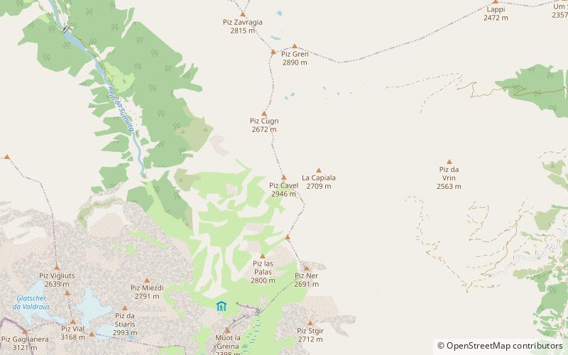
Piz Cavel is a mountain of the Lepontine Alps, situated between the Val Sumvitg and the Lumnezia in the canton of Graubünden. The closest locality is Vrin on the eastern side. ()
GraubündenSwitzerland
Piz Cavel – popular in the area (distance from the attraction)
Nearby attractions include: Piz Terri, Lag da Laus, Piz Vial, Piz Muraun.
 Nature, Natural attraction, Mountain
Piz Terri
100 min walk • Piz Terri is a mountain in the Lepontine Alps, located on the border between the cantons of Ticino and Graubünden. At 3,149 metres above sea level it is the highest summit lying on the chain between Greina and Soreda Pass.
 Nature, Natural attraction, Lake
Lag da Laus
151 min walk • Lag da Laus is a small lake within the municipality of Sumvitg in the Grisons, Switzerland. There is no real tributary to the lake and the outflow will disappear in the underground after some distance as the area consists of landslide debris.
 Nature, Natural attraction, Mountain
Piz Vial
75 min walk • Piz Vial is a 3,168 metres high mountain of the Swiss Lepontine Alps, located south of Sumvitg in the canton of Graubünden. The summit, located one kilometres east of the canton of Ticino border, overlooks, together with its highest neighbour Piz Medel, the plateau of the Greina.
 Nature, Natural attraction, Mountain
Piz Muraun
141 min walk • Piz Muraun is a mountain of the Swiss Lepontine Alps, located near Disentis in the canton of Graubünden. It lies between the Val Medel and the Val Sumvitg.
 Nature, Natural attraction, Mountain
Piz Caschleglia
140 min walk • Piz Caschleglia is a mountain of the Swiss Lepontine Alps, located south of Curaglia in the canton of Graubünden. It lies north of Piz Medel, between the Val Medel and the Val Sumvitg.
 Nature, Natural attraction, Mountain
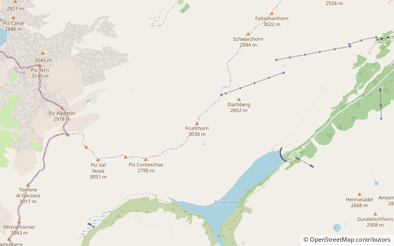
Frunthorn
149 min walk • The Frunthorn is a mountain of the Swiss Lepontine Alps, overlooking the Zervreilasee in the canton of Graubünden. It is located west of Vals, on the ridge between the Val Lumnezia and the Valsertal.
 Nature, Natural attraction, Mountain
Pizzo Pianca
157 min walk • Pizzo Pianca is a mountain of the Swiss Lepontine Alps, located north of Olivone in the canton of Ticino. On its southern side it overlooks the lake of Luzzone.
 Nature, Natural attraction, Mountain
Piz Medel
148 min walk • Piz Medel is a mountain in the Lepontine Alps, located on the border between the cantons of Ticino and Graubünden. At 3,210 metres above sea level it is the highest summit on the chain between Lukmanier Pass and Crap la Crusch.
 Nature, Natural attraction, Mountain
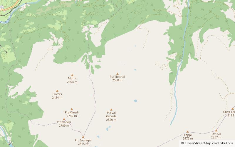
Piz Titschal
94 min walk • Piz Titschal is a mountain of the Swiss Lepontine Alps, located south of Obersaxen in the canton of Graubünden.
 Nature, Natural attraction, Mountain
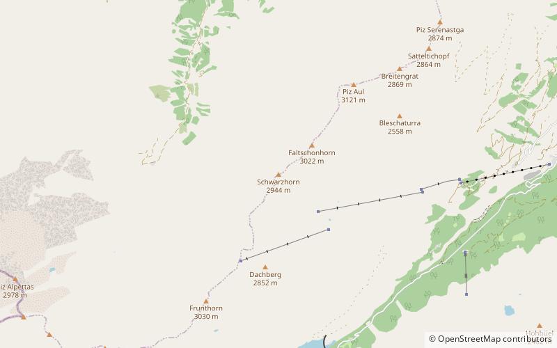
Schwarzhorn
135 min walk • The Schwarzhorn is a mountain of the Swiss Lepontine Alps, located west of Vals in the canton of Graubünden. It lies on the range between the Lumnezia and the Valser Tal, south of the Faltschonhorn.
 Nature, Natural attraction, Mountain
Piz Aul, Vals
140 min walk • Piz Aul is a mountain of the Lepontine Alps, overlooking Vals in the canton of Graubünden.