Ruine Dübelstein, Zurich
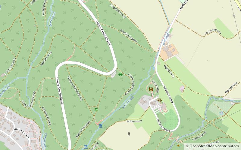
Map

Gallery

Facts and practical information
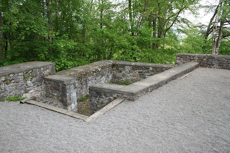
Dübelstein Ruin is a ruin of a talus slope castle near the town of Dübendorf in the Swiss canton of Zurich on the northern slope of the Adlisberg at 506 m above sea level.
Coordinates: 47°22'50"N, 8°36'49"E
Address
Zurich
ContactAdd
Social media
Add
Day trips
Ruine Dübelstein – popular in the area (distance from the attraction)
Nearby attractions include: Flieger-Flab-Museum, Adlisberg, Loorenkopf, Fällanden.
Frequently Asked Questions (FAQ)
How to get to Ruine Dübelstein by public transport?
The nearest stations to Ruine Dübelstein:
Bus
Tram
Train
Bus
- Alterszentrum • Lines: 743, 744, 745, 754 (15 min walk)
- Kirche Wil • Lines: 743, 744, 745, 754 (17 min walk)
Tram
- Ringwiesen • Lines: 12 (32 min walk)
- Bahnhof Stettbach • Lines: 12, 7 (36 min walk)
Train
- Stettbach (36 min walk)


