Monte del Forno
#550 among destinations in Switzerland


Facts and practical information
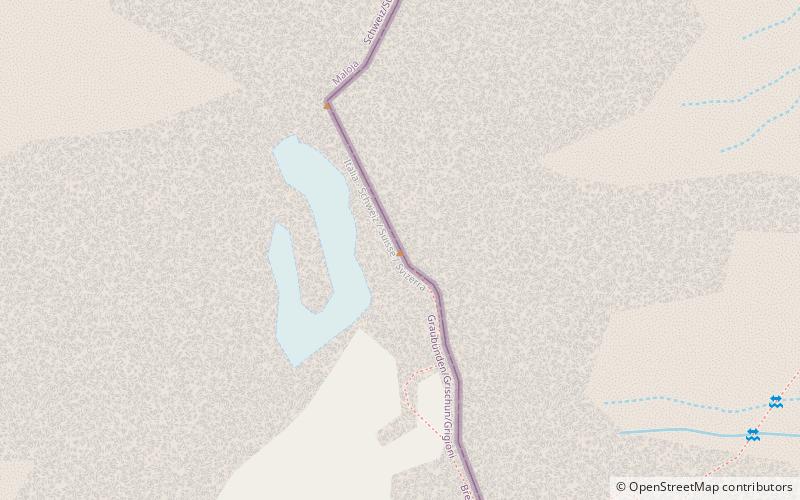
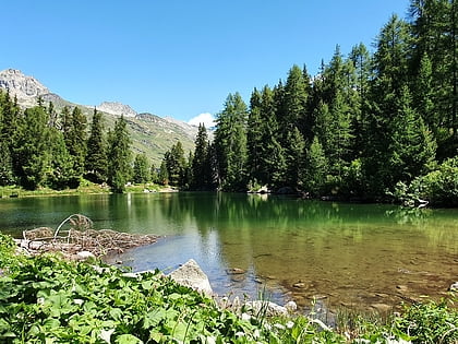
Monte del Forno is a mountain in the Bregaglia Range, located on the border between Italy and Switzerland. On its western side it overlooks the Forno Glacier. ()
GraubündenSwitzerland
Monte del Forno – popular in the area (distance from the attraction)
Nearby attractions include: Lake Sils, Lägh da Cavloc, Piz Corvatsch, Lägh dal Lunghin.
 Nature, Natural attraction, Lake
Lake Sils
143 min walk • Nestled in the heart of the Swiss Alps, Lake Sils is a serene and picturesque natural wonder that captivates visitors with its crystal-clear waters and breathtaking mountainous backdrop. This stunning glacial lake, situated in the Upper Engadine valley of Switzerland...
 Nature, Natural attraction, Lake
Lägh da Cavloc
77 min walk • Nestled in the heart of the Swiss Alps, Lägh da Cavloc is a serene mountain lake that offers a tranquil escape from the hustle and bustle of everyday life. This alpine gem, located in the canton of Graubünden, is a pristine example of nature's beauty, with...
 Mountain with ski area and cable car
Piz Corvatsch
168 min walk • Piz Corvatsch is a mountain in the Bernina Range of the Alps, overlooking Lake Sils and Lake Silvaplana in the Engadin region of the canton of Graubünden.
 Nature, Natural attraction, Lake
Lägh dal Lunghin
152 min walk • Lägh dal Lunghin is a lake at an elevation of 2484 m, below the peak of Piz Lunghin, in the Graubünden, Switzerland. It is considered the source of the Inn River.
 Nature, Natural attraction, Mountain
Piz Lunghin
143 min walk • Piz Lunghin is a mountain in the Swiss canton of Graubünden, located in the Albula range, overlooking the Maloja Pass. It is considered as the "roof of Europe" as the peak is nearby the triple watershed of the Lunghin pass.
 Natural attraction, Valley, Forest
Val Fex
140 min walk • Val Fex is a southern side valley from the Upper Engadine in Switzerland, located at an altitude of around 1,800 to 2,000 metres above sea level. It belongs to the municipality of Sils im Engadin/Segl.
 Nature, Natural attraction, Lake
Albigna lake
95 min walk • Albigna Lake is a reservoir in the canton of Graubünden, Switzerland. It is located in the municipality of Vicosoprano at an elevation of 2,163 metres on the southwest side of the Bregaglia valley, northeast of Pizzo Cacciabella.
 Nature, Natural attraction, Lake
Lägh da Bitabergh
103 min walk • Lägh da Bitabergh is a lake near Maloja Pass in Val Bregaglia, Grisons, Switzerland.
 Nature, Natural attraction, Mountain
Sciora Dadent
142 min walk • The Sciora Dadent is a mountain in the Bregaglia Range of the Alps, located south of Vicosoprano in the canton of Graubünden. It is the highest and southernmost summit of the Sciora group.
 Nature, Natural attraction, Mountain
Piz da la Margna
77 min walk • Piz da la Margna is a mountain in the Bernina Range of the Alps, overlooking Lake Sils in the Swiss canton of Graubünden. It lies to the south-east of the Maloja Pass at the south-western end of the Engadin valley.
 Nature, Natural attraction, Mountain
Piz Cacciabella
119 min walk • Piz Cacciabella is a mountain in the Bregaglia Range of the Alps, overlooking Vicosoprano in the canton of Graubünden. It is the northernmost summit of the range between the valleys of Bondasca and Albigna.
