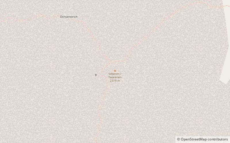
Silberen
#953 among destinations in Switzerland


Facts and practical information
The Silberen is a mountain of the Schwyzer Alps, located east of the Pragel Pass in the canton of Schwyz. On its eastern side the mountain overlooks the lake of Klöntal. ()
SchwyzSwitzerland
Silberen – popular in the area (distance from the attraction)
Nearby attractions include: Hoch-Ybrig, Hölloch, Klöntalersee, Oberblegisee.
 Winter sport, Historic walking areas, Ski area
Hoch-Ybrig
120 min walk • Nestled in the heart of Switzerland's pre-Alpine landscape, Hoch-Ybrig is a winter paradise that beckons skiers and snowboarders of all skill levels. This charming ski area, located in the canton of Schwyz, offers a delightful blend of well-groomed slopes, stunning...
 Nature, Cave, Natural attraction
Hölloch
136 min walk • Delving into the depths of the Swiss Muotatal, explorers find themselves entranced by the Hölloch, one of the largest cave systems in the world. This subterranean marvel, located in the canton of Schwyz, extends more than 200 kilometers, offering an otherworldly...
 Nature, Natural attraction, Lake
Klöntalersee
112 min walk • Nestled in the heart of the Glarus Alps, Klöntalersee is a serene and picturesque lake in Switzerland that captivates visitors with its tranquil beauty. This magnificent body of water is a natural reservoir, stretching approximately 3.3 kilometers in length...
 Nature, Natural attraction, Lake
Oberblegisee
139 min walk • Oberblegisee is a lake in the Canton of Glarus, Switzerland. It is located at an elevation of 1,422 metres, above the village of Luchsingen and below the peaks of Glärnisch. Its surface area is 0.17 square kilometres.
 Nature, Natural attraction, Mountain
Druesberg
82 min walk • The Druesberg is a mountain located north of Pragel Pass in the Schwyzer Alps and the canton of Schwyz. It lies on the range between Unteriberg and Muotathal.
 Nature, Natural attraction, Mountain
Glärnisch
120 min walk • The Glärnisch is a mountain massif of the Schwyz Alps, overlooking the valley of the Linth in the Swiss canton of Glarus. It consists of several summits, of which the highest, Bächistock, is 2,915 metres above sea level.
 Nature, Natural attraction, Mountain
Ortstock
132 min walk • The Ortstock is a mountain in the Schwyzer Alps, located at an elevation of 2,717 m on the border between the cantons of Schwyz and Glarus. It overlooks Braunwald and Linthal on its east side, while the west side overlooks the high valley of Glattalp.
 Nature, Natural attraction, Mountain
Mutteristock
112 min walk • The Mutteristock is a mountain in the Schwyzer Alps, which rises 2294 meters above sea level. It is located between the cantons of Glarus and Schwyz, Switzerland, overlooking the Wägitalersee and the Klöntalersee on its northern and southern side respectively.
 Nature, Natural attraction, Mountain
Roggenstock
143 min walk • The Roggenstock is a mountain of the Swiss Prealps, located south of Oberiberg in the canton of Schwyz. It lies north of the Hoch-Ybrig area.
 Nature, Natural attraction, Mountain
Wasserbergfirst
162 min walk • The Wasserbergfirst is a mountain of the Schwyz Alps, located south of Muotathal in the canton of Schwyz. It lies on the range between the Hürital and the Bisistal, north of the Schächentaler Windgällen.
 Nature, Natural attraction, Mountain
Höch Turm
115 min walk • The Höch Turm is a mountain in the Schwyzer Alps, located in an elevation of 2,666 m. It lies west of the resort village of Braunwald on the karstic range between the valleys of Muota and Linth.
