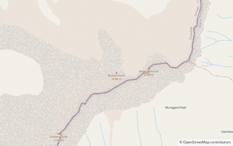
Mutteristock
Map

Map

Facts and practical information
The Mutteristock is a mountain in the Schwyzer Alps, which rises 2294 meters above sea level. It is located between the cantons of Glarus and Schwyz, Switzerland, overlooking the Wägitalersee and the Klöntalersee on its northern and southern side respectively. Its summit is the highest point of the subrange lying north of Pragel Pass. The mountain's slopes display bare limestone. ()
Location
Ehrenströmintie 1 BGlarus
ContactAdd
Social media
Add
Day trips
Mutteristock – popular in the area (distance from the attraction)
Nearby attractions include: Klöntalersee, Wägitalersee, Oberblegisee, Obersee.


