Gorihorn
#1325 among destinations in Switzerland


Facts and practical information
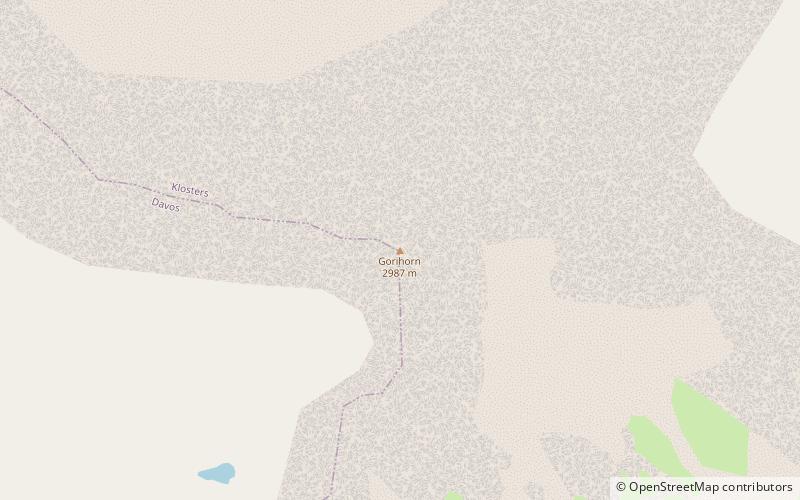
The Gorihorn is a mountain of the Silvretta Alps, located north of the Flüela Pass in the Swiss canton of Graubünden. ()
GraubündenSwitzerland
Gorihorn – popular in the area (distance from the attraction)
Nearby attractions include: Lake Davos, Jakobshorn, Schwarzhorn, Gotschnagrat.
 Outdoor activity at a mountain lake
Lake Davos, Davos
135 min walk • Lake Davos is a small natural lake at Davos, Switzerland. Its surface area is 0.59 km² and the maximum depth is 54 m.
 Nature, Natural attraction, Ski area
Jakobshorn, Davos
138 min walk • The Jakobshorn is a mountain of the Albula Alps, overlooking Davos in the Swiss canton of Graubünden. It is also one of the five skiing regions of the Davos Klosters Mountains, offering 14 pistes.
 Nature, Natural attraction, Mountain
Schwarzhorn
107 min walk • The Flüela Schwarzhorn is a mountain of the Albula Alps, overlooking the Flüela Pass, in the canton of Graubünden. With a height of 3,146 metres above sea level, it is the highest point of the Albula Alps north of the Fuorcla da Grialetsch.
 Nature, Natural attraction, Mountain
Gotschnagrat
175 min walk • The Gotschnagrat is a mountain of the Plessur Alps, overlooking Klosters in the canton of Graubünden. It is a minor prominence on the ridge descending east of the Casanna. The Gotschnagrat can be reached by cable car from Klosters. In winter it is part of the large ski area between Davos and Klosters.
 Nature, Natural attraction, Mountain
Piz Linard
136 min walk • Piz Linard is a pyramid-shaped mountain of the Swiss Alps. At 3,410 m it is the highest peak of the Silvretta mountain range. It was first climbed on August 1, 1835, by the geologist and naturalist Oswald Heer led by Johann Madutz.
 Nature, Natural attraction, Mountain
Flüela Wisshorn
60 min walk • The Flüela Wisshorn is a mountain of the Silvretta Alps, overlooking the Flüela Pass in the Swiss canton of Graubünden.
 Mountain
Pischahorn, Klosters
35 min walk • The Pischahorn is a mountain of the Silvretta Alps, located east of Davos, in the Swiss canton of Graubünden. Several trails lead to its summit.
 Nature, Natural attraction, Lake
Schwarzsee
139 min walk • Schwarzsee is a lake at Laret, between Davos and Klosters in the Grisons, Switzerland. It is located at an elevation of 1504 m.
 Nature, Natural attraction, Valley
Sertig
181 min walk • The Sertig Valley is located in the municipality of Davos, south of the town, in the Swiss canton of Graubünden. It is a lateral valley of the Landwasser valley. The small village of Sertig Dörfli is accessible by road.
 High mountain pass closed in winter
Flüela Pass, Davos
79 min walk • The Flüela Pass is a high mountain pass of the Swiss Alps in Graubünden. Traditionally considered the boundary between the Albula and Silvretta Alps, the pass crosses the watershed / drainage divide between the basins of the Rivers Rhine and Danube. The pass is overlooked by the Flüela Schwarzhorn and the Flüela Wisshorn.
 Nature, Natural attraction, Lake
Jöriseen
32 min walk • The Jöriseen are a group of Alpine lakes located west of the Jörifless Pass and north of the Flüela Wisshorn, in the Swiss canton of Graubünden. The largest lake has an area of 0.095 km² and is located at 2,489 metres above sea level. They are located in the municipality of Klosters.
