Schwarzhorn

Gallery (2)
Map
Map
Gallery
Facts and practical information
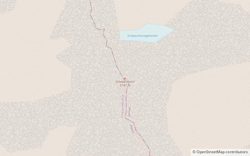
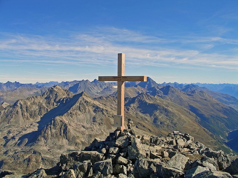
The Flüela Schwarzhorn is a mountain of the Albula Alps, overlooking the Flüela Pass, in the canton of Graubünden. With a height of 3,146 metres above sea level, it is the highest point of the Albula Alps north of the Fuorcla da Grialetsch. From the Flüela Pass a trail leads to the summit. ()
Location
Graubünden
ContactAdd
Social media
Add
Day trips