Schärhorn
Map

Map

Facts and practical information
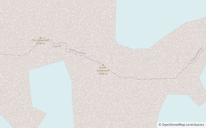
The Schärhorn is a mountain in the Glarus Alps near Klausen Pass. The highest summit is named Gross Schärhorn while a second summit is named Chli Schärhorn. The mountain overlooks the valley of Schächental to the north side, and the Hüfifirn to the southeast, which finally leads to the Maderanertal to the southwest. Both valleys are located in the canton of Uri. ()
Local name: Gross Schärhorn Elevation: 10807 ftProminence: 1686 ftCoordinates: 46°49'38"N, 8°49'45"E
Location
Uri
ContactAdd
Social media
Add
Day trips
Schärhorn – popular in the area (distance from the attraction)
Nearby attractions include: Golzerensee, Tödi, Gross Windgällen, Clariden.


