Punta Pioda
#1534 among destinations in Switzerland


Facts and practical information
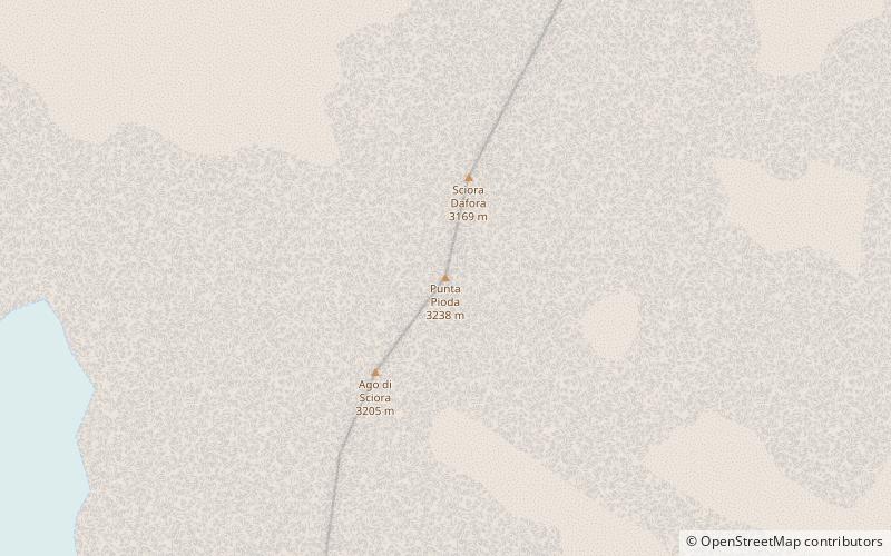
The Punta Pioda is a 3,238 m mountain in the Bregaglia Range of the Alps, located south of Vicosoprano in the canton of Graubünden. It lies in the Sciora group. ()
GraubündenSwitzerland
Punta Pioda – popular in the area (distance from the attraction)
Nearby attractions include: Lägh da Cavloc, Castelmur Castle, Piz Badile, Monte del Forno.
 Nature, Natural attraction, Lake
Lägh da Cavloc
166 min walk • Nestled in the heart of the Swiss Alps, Lägh da Cavloc is a serene mountain lake that offers a tranquil escape from the hustle and bustle of everyday life. This alpine gem, located in the canton of Graubünden, is a pristine example of nature's beauty, with...
 Museum, Forts and castles
Castelmur Castle
89 min walk • Nestled in the picturesque landscape of the Swiss Alps, Castelmur Castle stands as a testament to the rich history and architectural heritage of Switzerland. This storied castle, located in the canton of Graubünden, dates back to the 12th century, with significant...
 Nature, Natural attraction, Mountain
Piz Badile
52 min walk • Piz Badile is a mountain of the Bregaglia range in the Swiss canton of Graubünden and the Italian region of Lombardy. The border between the two countries runs along the summit ridge.
 Nature, Natural attraction, Mountain
Monte del Forno
134 min walk • Monte del Forno is a mountain in the Bregaglia Range, located on the border between Italy and Switzerland. On its western side it overlooks the Forno Glacier.
 Nature, Natural attraction, Lake
Albigna lake
52 min walk • Albigna Lake is a reservoir in the canton of Graubünden, Switzerland. It is located in the municipality of Vicosoprano at an elevation of 2,163 metres on the southwest side of the Bregaglia valley, northeast of Pizzo Cacciabella.
 Nature, Natural attraction, Mountain
Piz Cengalo
34 min walk • Piz Cengalo is a mountain in the Bregaglia range of the Alps on the border between the Swiss canton of Graubünden and Italy. The first ascent of the mountain was by D. W. Freshfield and C. Comyns Tucker with guide F. Dévouassoud on 25 July 1866. The name 'Cengalo' derives from Tschingel, meaning girdle. On 28 December 2011 c.
 Nature, Natural attraction, Mountain
Sciora Dadent
13 min walk • The Sciora Dadent is a mountain in the Bregaglia Range of the Alps, located south of Vicosoprano in the canton of Graubünden. It is the highest and southernmost summit of the Sciora group.
 Nature, Natural attraction, Mountain
Piz da la Margna
187 min walk • Piz da la Margna is a mountain in the Bernina Range of the Alps, overlooking Lake Sils in the Swiss canton of Graubünden. It lies to the south-east of the Maloja Pass at the south-western end of the Engadin valley.
 Nature, Natural attraction, Mountain
Piz Cacciabella
38 min walk • Piz Cacciabella is a mountain in the Bregaglia Range of the Alps, overlooking Vicosoprano in the canton of Graubünden. It is the northernmost summit of the range between the valleys of Bondasca and Albigna.
 Nature, Natural attraction, Mountain
Ago di Sciora
3 min walk • Ago di Sciora is a mountain in the Bregaglia Range of the Alps, located south of Vicosoprano in the canton of Graubünden. It forms a sharp needle in the middle of the Sciora group.
 Nature, Natural attraction, Mountain
Cima di Castello
61 min walk • Cima di Castello is a mountain of the Bregaglia Range, located on the border between Italy and Switzerland. With a height of 3,379 metres above sea level, it is the second highest mountain in the Bregaglia Range.
