Les Perrons
#725 among destinations in Switzerland


Facts and practical information
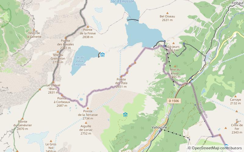
Les Perrons is a mountain of the Chablais Alps, located on the border between Switzerland and France. The main summit is named Grand Perron. It overlooks the Lac d'Emosson on its northern side. ()
ValaisSwitzerland
Les Perrons – popular in the area (distance from the attraction)
Nearby attractions include: Lac du Vieux Émosson, Mont de l'Arpille, Luisin, Mont Ruan.
 Nature, Natural attraction, Lake
Lac du Vieux Émosson
29 min walk • Lac du Vieux Émosson is a reservoir in Valais, Switzerland, in the municipality of Finhaut at an elevation of 2205 m. The lake drains into the reservoir Lac d'Émosson, 300 m below.
 Nature, Natural attraction, Mountain
Mont de l'Arpille
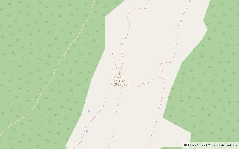
123 min walk • Mont de l'Arpille is a mountain of the Alps, located south-west of Martigny in the Swiss canton of Valais. It is located north of the Col de la Forclaz and geographically part of the Mont Blanc massif.
 Nature, Natural attraction, Mountain
Luisin
138 min walk • The Luisin is a mountain of the Chablais Alps, overlooking Les Marécottes in the canton of Valais. It lies east of the Tour Sallière, on the range between the lake of Salanfe and the valley of Trient.
 Nature, Natural attraction, Mountain
Mont Ruan
124 min walk • Mont Ruan is a mountain in the Chablais Alps, overlooking the lake of Emosson in the Swiss canton of Valais. At 3,057 metres above sea level, its main summit is located 200 metres away from the French border, where lies a slightly lower summit.
 Nature, Natural attraction, Mountain
Dents Blanches
162 min walk • The Dents Blanches is a mountain in the Chablais Alps on the Swiss-French border. It is composed of several summits of which the Dent de Barme is the highest.
 Nature, Natural attraction, Mountain
Grande Fourche
192 min walk • The Grande Fourche is a mountain in the Mont Blanc Massif, located on the Swiss-French border. It lies between the Glacier de Saleina and the Glacier du Tour.
 Nature, Natural attraction, Mountain
Pointe Ronde
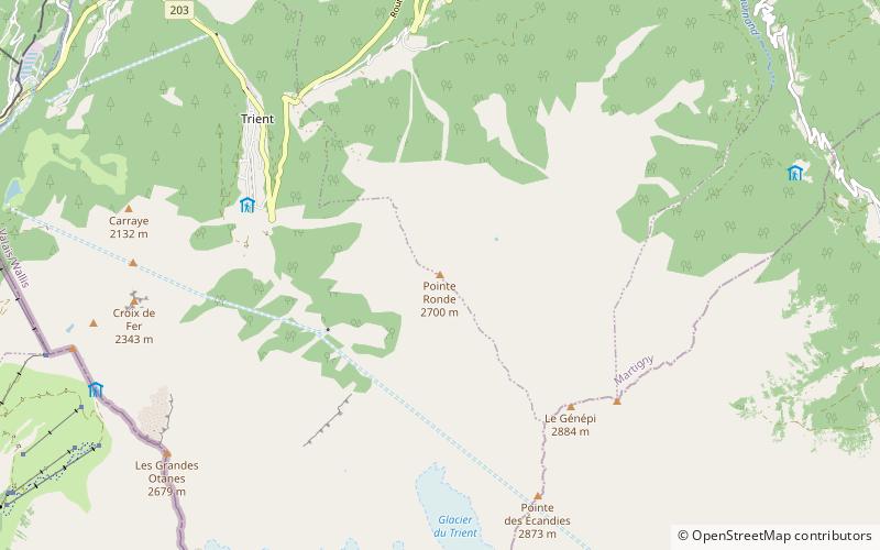
140 min walk • The Pointe Ronde is a mountain of the Mont Blanc massif, overlooking Trient in the canton of Valais. It lies near the northern end of the Arête de la Lys, the ridge descending in a north-westerly direction from the Génépi towards the Col de la Forclaz.
 Nature, Natural attraction, Mountain
Croix de Fer
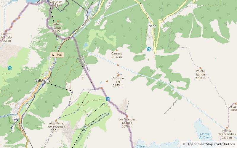
86 min walk • The Croix de fer is a mountain of the Mont Blanc Massif, overlooking Trient in the canton of Valais. It is located north of the Tête de Balme and L'Arolette and it is the culminating point of the group between the Col des Montets and the Col de Balme.
 Nature, Natural attraction, Natural feature
Trient Glacier
178 min walk • The Trient Glacier is a 4.3 km long glacier situated in the Mont Blanc Massif in the canton of Valais in Switzerland. In 1973 it had an area of 6.4 km². The upper part of the glacier forms a large plateau named Plateau du Trient. The glacier constitutes the source of the river Trient.
 Locality
Salvan
177 min walk • One of the highlights of Salvan is the impressive Gorges du Trient, a natural wonder that offers a thrilling experience for adventure seekers. The narrow gorge, carved by the Trient River, features towering cliffs and mesmerizing rock formations, making it a popular...
 Nature, Natural attraction, Mountain pass
Col de la Forclaz, Trient
112 min walk • Col de la Forclaz is a mountain pass in the Alps in the Canton of Valais in Switzerland. It connects Martigny at 471 m and Le Châtelard. The road from Martigny to the Col has an average gradient of 6% but in parts is closer to 8%.
