Rotbüelspitz

Gallery (1)
Map
Map
Facts and practical information
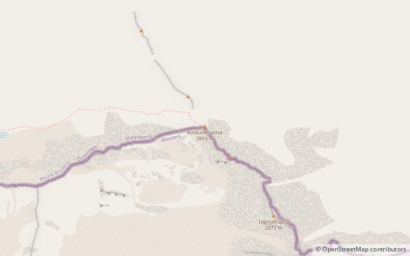
The Rotbüelspitz is a mountain of the Silvretta Alps, located on the border between Austria and Switzerland. It is located north of the slightly higher Isentällispitz. ()
Location
Graubünden
ContactAdd
Social media
Add
Day trips