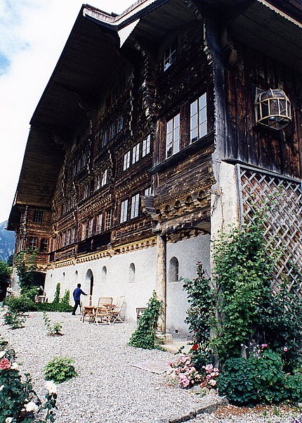
Grand Chalet, Rossinière

Gallery (3)
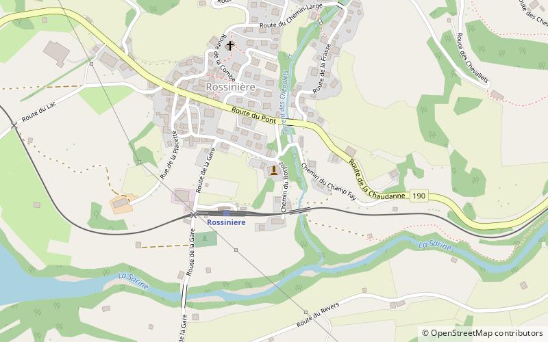
Map
Map
Gallery
Facts and practical information
The Grand Chalet of Rossinière is one of the oldest chalets in Switzerland, dating to the 18th century. It is located in Rossinière and classed as a historic monument. Claude Roy wrote of it: ()
Address
Rossinière
ContactAdd
Social media
Add
Day trips


