Rocher du Midi

Gallery (1)
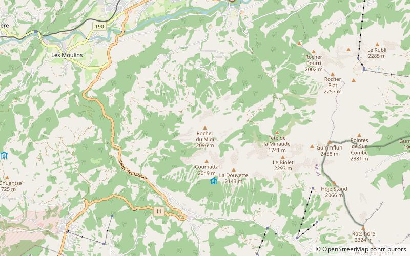
Map
Map
Facts and practical information
The Rocher du Midi is a mountain in the western Bernese Alps, overlooking Château d'Oex in the canton of Vaud. It is located on the massif between the valley of the Sarine and L'Etivaz and culminating at the Gummfluh. ()
Location
Vaud
ContactAdd
Social media
Add
Day trips


