Distelhorn
#1088 among destinations in Switzerland

Facts and practical information
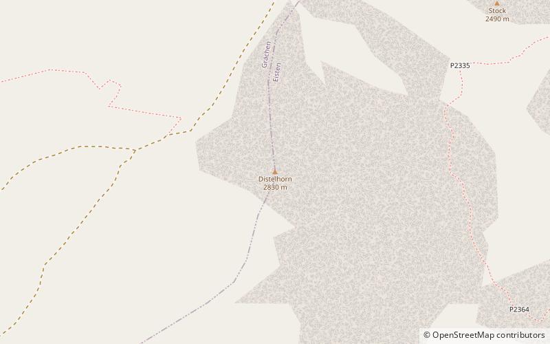
The Distelhorn is a mountain of the Swiss Pennine Alps, overlooking Grächen in the canton of Valais. ()
ValaisSwitzerland
Distelhorn – popular in the area (distance from the attraction)
Nearby attractions include: Bonigersee, Balfrin, Ulrichshorn, Mattwaldhorn.
 Nature, Natural attraction, Lake
Bonigersee
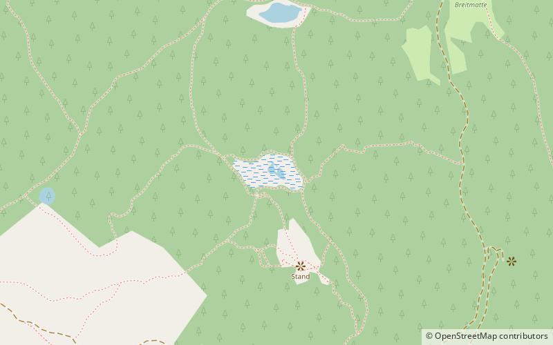
128 min walk • Bonigersee is a lake at Törbel in the canton of Valais, Switzerland. Its surface area is 0.9 ha. The raised bog is listed in the Federal Inventory of Raised and Transitional Bogs of National Importance and the Federal Inventory of Amphibian Spawning Areas.
 Nature, Natural attraction, Mountain
Balfrin
91 min walk • The Balfrin is a mountain of the Swiss Pennine Alps, located north of the Dom in the canton of Valais. It belongs to the Mischabel massif, which lies between the Mattertal and the Saastal.
 Nature, Natural attraction, Mountain
Ulrichshorn
121 min walk • The Ulrichshorn is a mountain of the Swiss Pennine Alps, overlooking Saas-Fee in the canton of Valais. It is located north of the Nadelhorn, in the Mischabel range, which lies between the Mattertal and the Saastal.
 Nature, Natural attraction, Mountain
Mattwaldhorn
106 min walk • The Mattwaldhorn is a mountain of the Swiss Pennine Alps, located between the upper Nanztal and the Saastal in the canton of Valais. The nearest locality is Eisten on the west side.
 Nature, Natural attraction, Mountain
Dürrenhorn
120 min walk • The Dürrenhorn is a summit in the Pennine Alps in Switzerland. It lies towards the northern end of the Nadelgrat, a high-level ridge running roughly north–south above the resort of Saas-Fee to the east, and the Mattertal to the west.
 Nature, Natural attraction, Mountain
Hohberghorn
131 min walk • The Hohberghorn is a mountain in the Pennine Alps in Switzerland. It lies towards the northern end of the Nadelgrat, a high-level ridge running roughly north–south, north of the Dom, above the resort of Saas-Fee to the east, and the Mattertal to the west.
 Nature, Natural attraction, Mountain
Seetalhorn
13 min walk • The Seetalhorn is a mountain of the Swiss Pennine Alps, overlooking Grächen in the canton of Valais. With an elevation of 3,037 m, it is the highest point of the ski area of Grächen.
 Nature, Natural attraction, Mountain
Augstbordhorn
127 min walk • The Augstbordhorn is a mountain of the Pennine Alps, overlooking Törbel in the canton of Valais. Several trails lead to its summit.
 Nature, Natural attraction, Mountain
Bigerhorn
72 min walk • The Bigerhorn is a mountain of the Swiss Pennine Alps, located south of Grächen in the canton of Valais. It lies in the Mischabel range, north of the Ried Glacier. From the Bordier Hut, a trail leads to the summit of the Bigerhorn.
 Nature, Natural attraction, Mountain
Ochsehorn
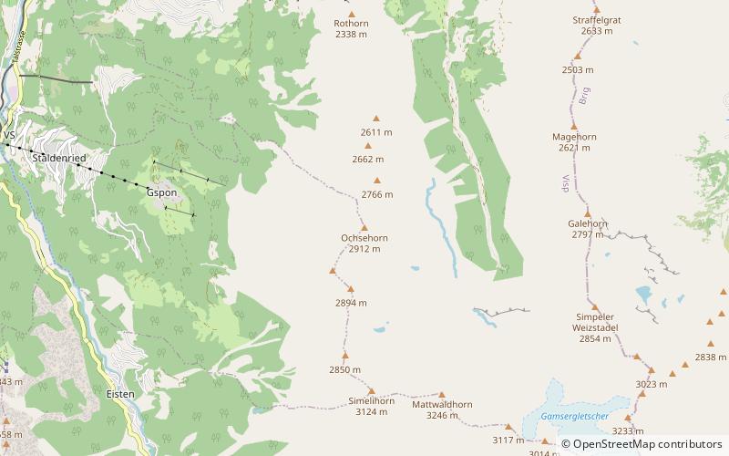
105 min walk • The Ochsehorn is a mountain of the Swiss Pennine Alps, overlooking Staldenried in the canton of Valais. It lies between the Saastal and the upper Nanztal, north of the Mattwaldhorn.
 Natural attraction, Mountain pass
Moosalp, Törbel
125 min walk • The Moosalp is a high mountain pass across the western Pennine Alps, connecting Bürchen with Törbel in the canton of Valais in Switzerland. The pass lies north-east of Augstbordhorn.