Mattenalpsee
#1361 among destinations in Switzerland


Facts and practical information
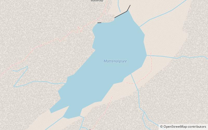
Mattenalpsee is a reservoir in the municipality of Innertkirchen, Canton of Berne, Switzerland. Its surface area is 18.6 ha. The reservoir receives the water from Gauli Glacier. The water is channeled into Räterichsbodensee. ()
BernSwitzerland
Mattenalpsee – popular in the area (distance from the attraction)
Nearby attractions include: Lauteraar Hut, Ritzlihorn, Dossen Hut, Dossen.
 Alpine hut, Hiking
Lauteraar Hut
107 min walk • The Lauteraar Hut is a mountain hut of the Swiss Alpine Club, located south-west of Handegg in the canton of Bern. The hut lies at a height of 2,392 metres above sea level, above the Unteraar Glacier, at the foot of the Hienderstock in the Bernese Alps.
 Nature, Natural attraction, Mountain
Ritzlihorn
31 min walk • The Ritzlihorn is a mountain of the Bernese Alps, overlooking Handegg in the canton of Bern. It lies on the range east of the Gauli Glacier and north of the Bächlistock.
 Alpine hut, Hiking
Dossen Hut
90 min walk • The Dossen Hut is a mountain hut of the Swiss Alpine Club, located south of Meiringen in the canton of Bern, Switzerland. It lies at a height of 2,663 metres above sea level, on the watershed between the Reichenbachtal and the Urbachtal, north of the Dossen.
 Nature, Natural attraction, Mountain
Dossen
92 min walk • The Dossen is a mountain in the Bernese Alps, overlooking Rosenlaui in the Bernese Oberland. It is located east of the Rosenlaui Glacier. The Dossen is composed of two summits: the northern summit and southern summit.
 Nature, Natural attraction, Natural feature
Unteraargletscher
115 min walk • The Unteraargletscher, literally "Lower Aare-Glacier", is the larger of the two sources of the Aare river in the Bernese Alps. It emerges from the association of the Finsteraargletscher and the Lauteraargletscher and flows for about 6 km to the east down to the Grimselsee near the Grimsel Pass.
 Nature, Natural attraction, Mountain
Steinlauihorn
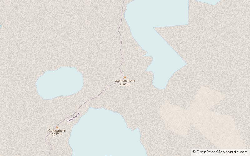
34 min walk • The Steinlauihorn is a mountain of the Bernese Alps, overlooking Handegg in the Bernese Oberland. It lies south of the Ritzlihorn, on the range separating the valley of the Gauli Glacier from the main Aar valley.
 Mountain
Brünberg, Swiss Alps Jungfrau-Aletsch
110 min walk • The Brünberg is a mountain of the Bernese Alps, overlooking the Grimselsee in the canton of Bern. It is composed of several summits, of which the highest has an elevation of 2,982 metres above sea level.
 Nature, Natural attraction, Natural feature
Gauli Glacier
88 min walk • The Gauli Glacier is a 6.2 km long glacier in the Bernese Alps in the canton of Bern in Switzerland. In 1973, it had an area of 17.7 km².
 Nature, Natural attraction, Mountain
Hangendgletscherhorn
63 min walk • The Hangendgletscherhorn is a mountain of the Bernese Alps, located in the Urbachtal in the canton of Bern. On its northern side it overlooks the Gauli Glacier.
 Nature, Natural attraction, Mountain
Grosser Diamantstock
68 min walk • The Grosser Diamantstock is a mountain of the Bernese Alps, located west of Handegg in the Bernese Oberland. Its summit has an elevation of 3,162 metres above sea level and is the tripoint between the glacier valleys of Hiendertelltigletscher, Bächligletscher and Gruebengletscher.
 Nature, Natural attraction, Mountain
Hienderstock
80 min walk • The Hienderstock is a mountain in the Bernese Alps, located between the Gauli Glacier and the Unteraar Glacier, in the canton of Bern. Its main summit has an elevation of 3,307 metres above sea level.
