Tällihorn
#1089 among destinations in Switzerland


Facts and practical information
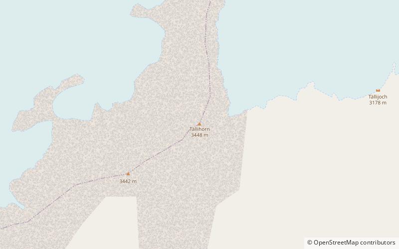
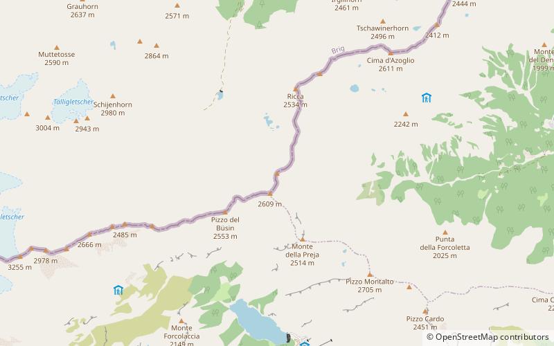
The Tällihorn is a mountain of the Swiss Pennine Alps, located east of the Weissmies in the canton of Valais. It lies in the Val Divedro, south of the main Alpine watershed. ()
ValaisSwitzerland
Tällihorn – popular in the area (distance from the attraction)
Nearby attractions include: Weissmies, Britannia Hut, Fletschhorn, Lagginhorn.
 Nature, Natural attraction, Mountain
Weissmies
32 min walk • Weissmies, majestically perched in the Swiss Alps, stands as a testament to nature's grandeur. This imposing mountain, rising to an elevation of 4,017 meters, is part of the Pennine Alps and located in the canton of Valais.
 Alpine hut, Hiking
Britannia Hut
168 min walk • Nestled amidst the awe-inspiring peaks of the Swiss Alps, the Britannia Hut stands as a beacon for mountaineers and hikers traversing the vast alpine wilderness. This storied alpine hut, located at an elevation of 3,030 meters, is a popular base for those attempting...
 Nature, Natural attraction, Mountain
Fletschhorn
88 min walk • The Fletschhorn is a mountain of the Pennine Alps, located between the Saas Valley and the Simplon Valley, in the canton of Valais. It lies in the Weissmies group, north of the Lagginhorn. The Fletschhorn is shown to be 3,993 metres high on the 1:200,000 Swisstopo map.
 Nature, Natural attraction, Mountain
Lagginhorn
73 min walk • The Lagginhorn is a mountain in the Pennine Alps in Switzerland. It lies a few kilometres north of the slightly higher Weissmies and also close to the slightly lower Fletschhorn on the north.
 Nature, Natural attraction, Mountain
Portjengrat
41 min walk • The Portjengrat is a mountain of the Pennine Alps, located on the border between Switzerland and Italy. It lies south of the Weissmies and the Zwischbergen Pass, where the international border diverges away from the main Alpine watershed.
 Nature, Natural attraction, Mountain
Mattwaldhorn
166 min walk • The Mattwaldhorn is a mountain of the Swiss Pennine Alps, located between the upper Nanztal and the Saastal in the canton of Valais. The nearest locality is Eisten on the west side.
 Nature, Natural attraction, Mountain
Jegihorn
96 min walk • The Jegihorn is a mountain of the Swiss Pennine Alps, overlooking Saas-Balen in the canton of Valais. It is located west of the Lagginhorn.
 Nature, Natural attraction, Mountain
Cima del Rosso
90 min walk • The Cima del Rosso is a mountain of Pennine Alps, located on the border between Switzerland and Italy. It lies between the Val Divedro and the Valle di Bognanco, east of the Portjengrat.
 Nature, Natural attraction, Mountain
Seehorn
141 min walk • The Seehorn is a mountain of the Swiss Pennine Alps, overlooking Gondo in the canton of Valais. Unlike most other mountains in Valais, the Seehorn lies on the south side of the Alps, in the southern Simplon Valley.
 Nature, Natural attraction, Mountain
Böshorn
144 min walk • The Böshorn is a mountain of the Swiss Pennine Alps, overlooking Simplon in the canton of Valais. The mountain lies between the upper Nanztal and the Val Divedro.
 Aerial tramway
Hohsaas
79 min walk • Hohsaas is a cable car station and a ski area in the Pennine Alps above Saas Grund in Valais. Although Hohsaas is not a mountain summit it still offers impressive views over the Dom on the Mischabel range and 18 four-thousand meters mountains, including the Weissmies which is easily accessible from there.
