Mauvoisin Dam
Map

Map

Facts and practical information
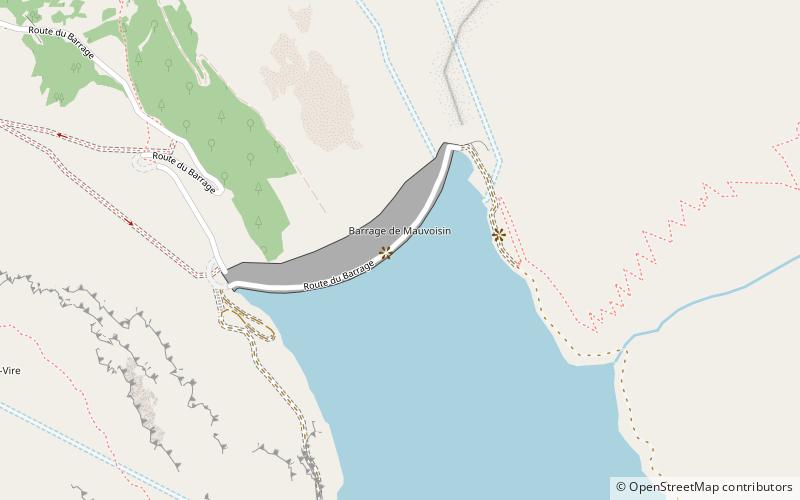
Mauvoisin Dam is a concrete variable radius arch dam across the Val de Bagnes on the Dranse de Bagnes stream, in the canton of Valais, Switzerland. Initial construction on the dam commenced in 1951 and was completed in 1957, with the reservoir filling by 1958. In 1991, the dam was raised to increase the capacity of the reservoir for winter storage. The dam's primary purpose is hydroelectric power generation. ()
Alternative names: Opened: 1957 (69 years ago)Length: 1706 ftHeight: 820 ftReservoir area: 0.8 mi²Coordinates: 45°59'53"N, 7°20'57"E
Location
Valais
ContactAdd
Social media
Add
Day trips
Mauvoisin Dam – popular in the area (distance from the attraction)
Nearby attractions include: Chanrion Hut, Mont Blanc de Cheilon, Lac de Louvie, Rosablanche.


