Furggubäumhorn

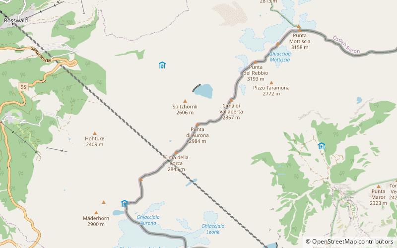
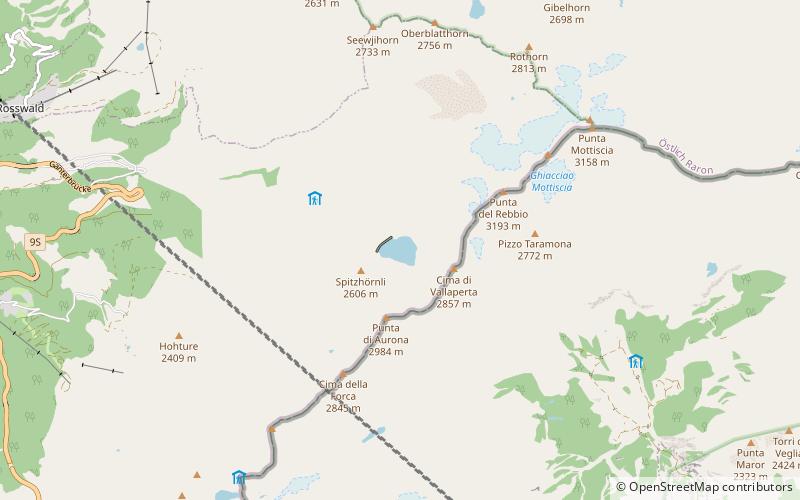
Map
Facts and practical information
The Furggubäumhorn is a mountain of the Lepontine Alps, which is located on the border between Switzerland and Italy. It is located on the main chain of the Alps, approximately halfway between the Wasenhorn and the Bortelhorn. ()
Elevation: 9793 ftProminence: 830 ftCoordinates: 46°16'47"N, 8°6'21"E
Location
Valais
ContactAdd
Social media
Add
Day trips
Furggubäumhorn – popular in the area (distance from the attraction)
Nearby attractions include: Stockalper Palace, Ganter Bridge, Rotelsee, Helsenhorn.


