Stäfeliflue
#1832 among destinations in Switzerland

Facts and practical information
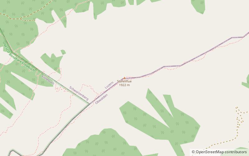
The Stäfeliflue is a mountain of the Emmental Alps, located on the border between the Swiss cantons of Lucerne and Obwalden. ()
LucerneSwitzerland
Stäfeliflue – popular in the area (distance from the attraction)
Nearby attractions include: Pilatus Mountain, Schloss Schauensee, Wichelsee, Widderfeld.
 Nature, Natural attraction, Mountain
Pilatus Mountain
94 min walk • Pilatus Mountain, a towering presence in central Switzerland, stands as a natural monument of majesty and myth. Known affectionately as the "Dragon Mountain," Pilatus rises to a commanding height of 2,128 meters, offering breathtaking views of the surrounding Alpine...
 Forts and castles
Schloss Schauensee, Horw
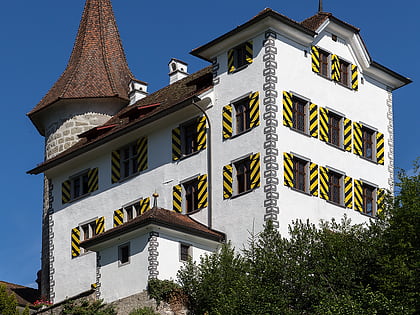
179 min walk • Schauensee Castle is a castle in the municipality of Kriens of the Canton of Lucerne in Switzerland.
 Nature, Natural attraction, Lake
Wichelsee
153 min walk • Wichelsee is a lake in Obwalden, Switzerland. Its surface area is 22 ha. The reservoir is located in the municipalities of Alpnach and Sarnen. It formed after the Sarner Aa was dammed in 1955. The area around the lake was protected in 2005.
 Nature, Natural attraction, Mountain
Widderfeld
78 min walk • The Widderfeld is a mountain in the Emmental Alps, located west of the Pilatus in Central Switzerland. The summit lies on the border between the cantons of Obwalden and Lucerne. The tripoint between the cantons of Lucerne, Obwalden and Nidwalden lies 300 m north of the summit.
 Forts and castles
Witch Tower, Sarnen
155 min walk • The Hexenturm is a stone tower in the municipality of Sarnen in the canton of Obwalden in Switzerland. It is a Swiss heritage site of national significance. The name refers to it being used as a prison for suspected witches in the 17th century. Today it houses the Cantonal Archives of Obwalden.
 Nature, Natural attraction, Mountain
Mittaggüpfi
30 min walk • The Mittaggüpfi is a mountain of the Emmental Alps, located west of the mountain of Pilatus on the border between the Swiss cantons of Lucerne and Obwalden.
 Nature, Natural attraction, Mountain
Schimbrig, Entlebuch Biosphere
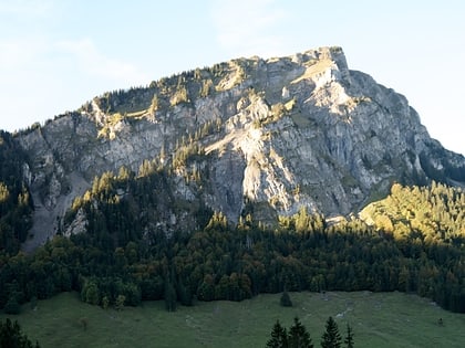
76 min walk • The Schimbrig is a mountain of the Emmental Alps, located in the municipality of Hasle in the canton of Lucerne. In the nineteenth century a tourist resort was established at the foot of the mountain where a natural sulphur spring surfaces.
 Nature, Natural attraction, Mountain
Schafmatt, Entlebuch Biosphere
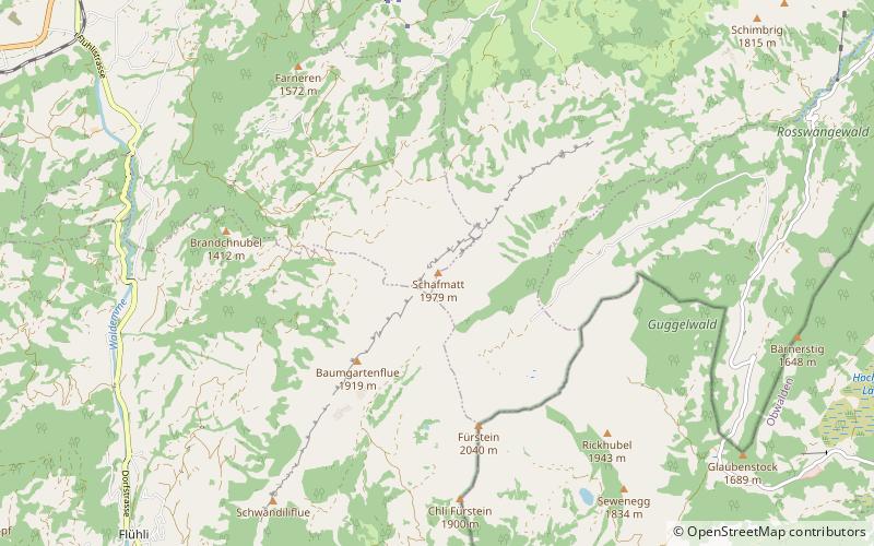
153 min walk • The Schafmatt is a mountain of the Emmental Alps, located north of Flühli in the canton of Lucerne. It lies north of the Fürstein, where the border with the canton of Obwalden runs.
 Dramatic mountain pass with Alps scenery
Glaubenberg Pass
145 min walk • Glaubenberg Pass is a high mountain pass in the Emmental Alps between the cantons of Lucerne and Obwalden in Switzerland. It connects Entlebuch and Sarnen.
 Nature, Natural attraction, Mountain
Fürstein, Entlebuch Biosphere
167 min walk • The Fürstein is a mountain of the Emmental Alps, located on the border between the cantons of Lucerne and Obwalden. The closest locality is Flühli, on the western side.
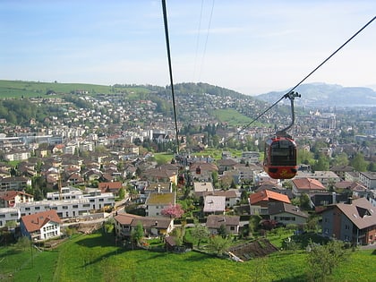 Town, Area
Kriens, Lucerne
186 min walk • Kriens is a city and a municipality in the district of Lucerne in the canton of Lucerne in Switzerland. The municipality lies at the foot of the mountain Pilatus, and is a western suburb of Lucerne.
