Fürstein, Entlebuch Biosphere
#6 among attractions in Entlebuch Biosphere
![Fürstein location map](https://tzmedia.b-cdn.net/media/images/static-maps/ch/46_8958_8_06972.jpg)
Facts and practical information
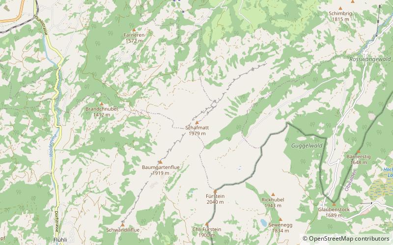
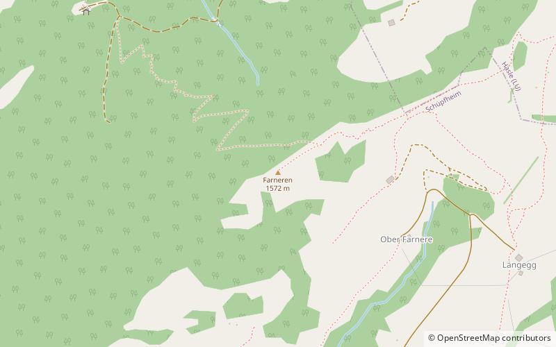
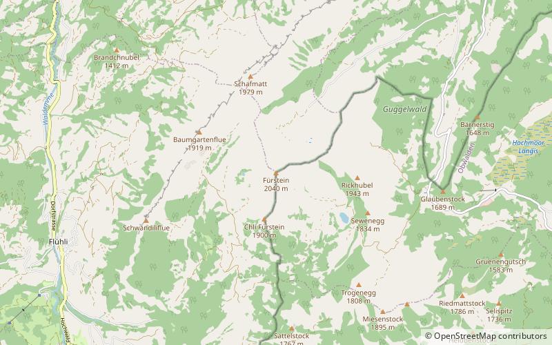
The Fürstein is a mountain of the Emmental Alps, located on the border between the cantons of Lucerne and Obwalden. ()
Entlebuch Biosphere Switzerland
Entlebuch Biosphere plan & book
Unleash the traveler in you — discover the cheapest flight deals, find the perfect hotel or hostel nearby, and search for the best car rental prices. Travel at your own pace to discover new places and enjoy your journey.
Fürstein – popular in the area (distance from the attraction)
Nearby attractions include: Rudenz Castle, Schrattenfluh, Rosenberg Castle, Mittaggüpfi.
7 miSEForts and castlesRudenz Castle, Giswil
178 min walk • Rudenz Castle is a ruined castle atop a hill in the municipality of Giswil in the canton of Obwalden in Switzerland. The castle and surroundings are a Swiss heritage site of national significance.
6.8 miSWNature, Natural attraction, MountainSchrattenfluh, Entlebuch Biosphere
174 min walk • The Schrattenfluh is a mountain of the Swiss Alps, located in the upper Emmental, in the canton of Lucerne. The Schrattenfluh is composed of several summits of which the highest is named Hengst.
6 miSEForts and castlesRosenberg Castle
153 min walk • Rosenberg Castle is a ruined castle in the municipality of Giswil in the canton of Obwalden in Switzerland.
7.6 miNENature, Natural attraction, MountainMittaggüpfi
195 min walk • The Mittaggüpfi is a mountain of the Emmental Alps, located west of the mountain of Pilatus on the border between the Swiss cantons of Lucerne and Obwalden.
3.7 miNENature, Natural attraction, MountainSchimbrig, Entlebuch Biosphere
94 min walk • The Schimbrig is a mountain of the Emmental Alps, located in the municipality of Hasle in the canton of Lucerne. In the nineteenth century a tourist resort was established at the foot of the mountain where a natural sulphur spring surfaces.
4.3 miSNature, Natural attraction, MountainHaglere
110 min walk • The Haglere or Hagleren is a mountain of the Emmental Alps, located on the border between the cantons of Lucerne and Obwalden. It overlooks Sörenberg on its south side.
1.2 miNNature, Natural attraction, MountainSchafmatt, Entlebuch Biosphere
30 min walk • The Schafmatt is a mountain of the Emmental Alps, located north of Flühli in the canton of Lucerne. It lies north of the Fürstein, where the border with the canton of Obwalden runs.
4.6 miWNature, Natural attraction, MountainBeichle, Entlebuch Biosphere
117 min walk • The Beichle is a mountain of the Emmental Alps, overlooking Escholzmatt in the canton of Lucerne.
1.8 miEDramatic mountain pass with Alps sceneryGlaubenberg Pass
46 min walk • Glaubenberg Pass is a high mountain pass in the Emmental Alps between the cantons of Lucerne and Obwalden in Switzerland. It connects Entlebuch and Sarnen.
3 miNWNature, Natural attraction, MountainFarneren, Entlebuch Biosphere
76 min walk • The Farneren is a mountain of the Emmental Alps, overlooking Schüpfheim in the canton of Lucerne.
6.5 miNENature, Natural attraction, MountainStäfeliflue
167 min walk • The Stäfeliflue is a mountain of the Emmental Alps, located on the border between the Swiss cantons of Lucerne and Obwalden.