Schimbrig, Entlebuch Biosphere
#3 among attractions in Entlebuch Biosphere


Facts and practical information
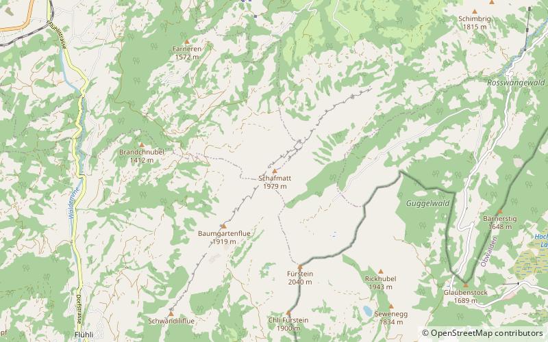
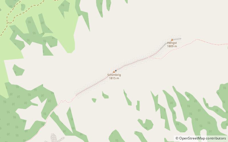
The Schimbrig is a mountain of the Emmental Alps, located in the municipality of Hasle in the canton of Lucerne. ()
Entlebuch Biosphere Switzerland
Schimbrig – popular in the area (distance from the attraction)
Nearby attractions include: Lake Sarnen, Siebenhengste-Hohgant-Höhle, Widderfeld, Mittaggüpfi.
7 miSE
Nature, Natural attraction, LakeLake Sarnen
179 min walk • Lake Sarnen is a lake in the Swiss canton of Obwalden. The lake is on the Sarner Aa, which flows out of the Lake Lungern, through the Lake Sarnen, and into Lake Lucerne.
6.8 miNW
Nature, Natural attraction, CaveSiebenhengste-Hohgant-Höhle, Entlebuch Biosphere
173 min walk • Siebenhengste-Hohgant-Höhle is a cave located in Switzerland, in the Canton of Bern north of Lake Thun, between the villages of Eriz and Habkern. The cave network formed in the Urgonian Limestone Formation.
5.8 miE
Nature, Natural attraction, MountainWidderfeld
149 min walk • The Widderfeld is a mountain in the Emmental Alps, located west of the Pilatus in Central Switzerland. The summit lies on the border between the cantons of Obwalden and Lucerne. The tripoint between the cantons of Lucerne, Obwalden and Nidwalden lies 300 m north of the summit.
4.1 miNE
Nature, Natural attraction, MountainMittaggüpfi
106 min walk • The Mittaggüpfi is a mountain of the Emmental Alps, located west of the mountain of Pilatus on the border between the Swiss cantons of Lucerne and Obwalden.
3 miSW
Nature, Natural attraction, MountainSchafmatt, Entlebuch Biosphere
78 min walk • The Schafmatt is a mountain of the Emmental Alps, located north of Flühli in the canton of Lucerne. It lies north of the Fürstein, where the border with the canton of Obwalden runs.
3.2 miS
Dramatic mountain pass with Alps sceneryGlaubenberg Pass
83 min walk • Glaubenberg Pass is a high mountain pass in the Emmental Alps between the cantons of Lucerne and Obwalden in Switzerland. It connects Entlebuch and Sarnen.
3.7 miSW
Nature, Natural attraction, MountainFürstein, Entlebuch Biosphere
94 min walk • The Fürstein is a mountain of the Emmental Alps, located on the border between the cantons of Lucerne and Obwalden. The closest locality is Flühli, on the western side.
3.4 miW
Nature, Natural attraction, MountainFarneren, Entlebuch Biosphere
88 min walk • The Farneren is a mountain of the Emmental Alps, overlooking Schüpfheim in the canton of Lucerne.
3 miNE
Nature, Natural attraction, MountainStäfeliflue
76 min walk • The Stäfeliflue is a mountain of the Emmental Alps, located on the border between the Swiss cantons of Lucerne and Obwalden.
4.6 miN
Nature, Natural attraction, Mountain passRengg, Entlebuch Biosphere
117 min walk • Rengg is a locality and a mountain pass in the canton of Lucerne in Switzerland. It connects Schachen, part of Werthenstein, and Entlebuch. It lies partially in the district of Entlebuch which is a biosphere preserve recognized by UNESCO.
4.6 miN
Nature, Natural attraction, Mountain passRengg Pass, Entlebuch Biosphere
117 min walk • The Rengg Pass is a walking trail mountain pass in Switzerland, between Hergiswil in the canton of Nidwalden and Alpnach in the canton of Obwalden. It crosses the ridge running eastwards from the Pilatus towards Stanstaad.
