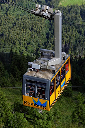
Kronberg Mountain

Gallery (2)
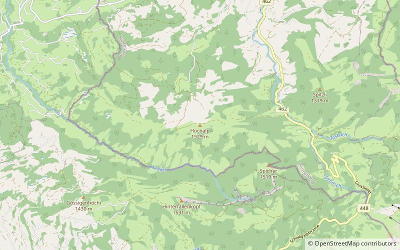
Map
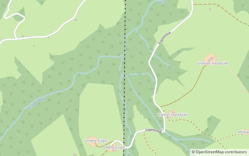
Map
Gallery
Facts and practical information
The Kronberg is a mountain of the Appenzell Alps, located west of Appenzell in the Swiss canton of Appenzell Innerrhoden. Its 1,663-metre-high summit can be accessed by cable car. ()
Day trips