Haglere

Gallery (1)
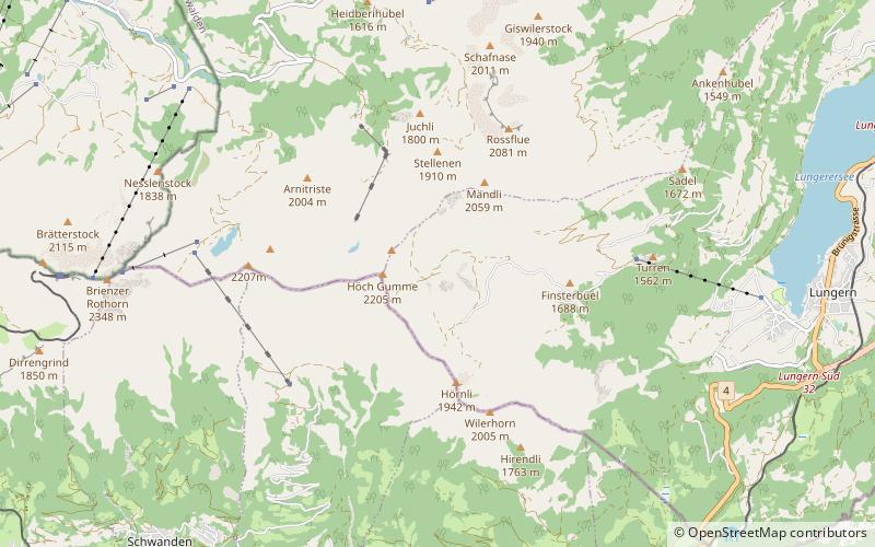
Map
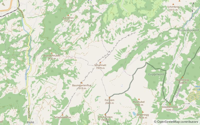
Map
Facts and practical information
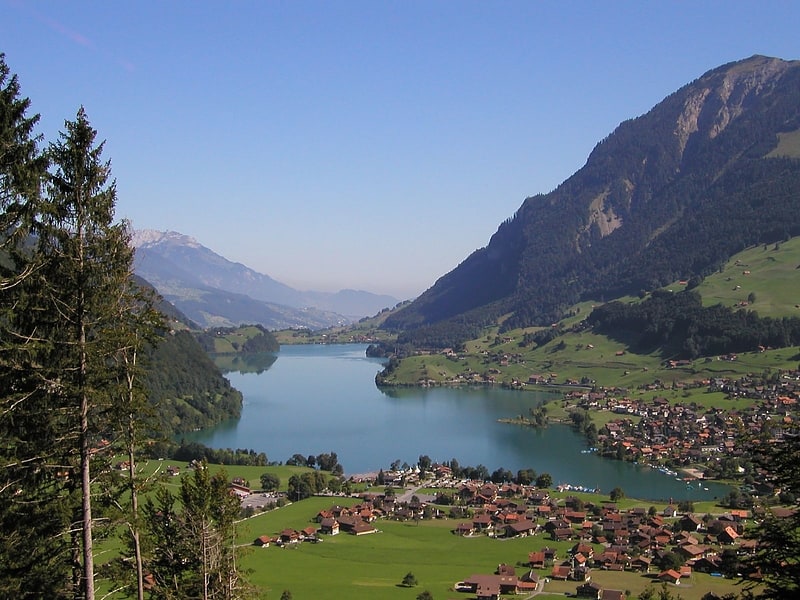
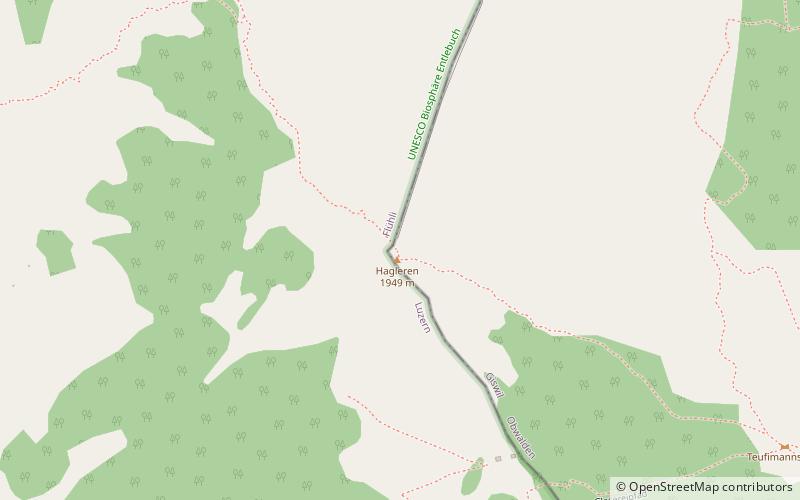
The Haglere or Hagleren is a mountain of the Emmental Alps, located on the border between the cantons of Lucerne and Obwalden. It overlooks Sörenberg on its south side. ()
Location
Lucerne
ContactAdd
Social media
Add
Day trips