Beichle, Entlebuch Biosphere
#5 among attractions in Entlebuch Biosphere


Facts and practical information
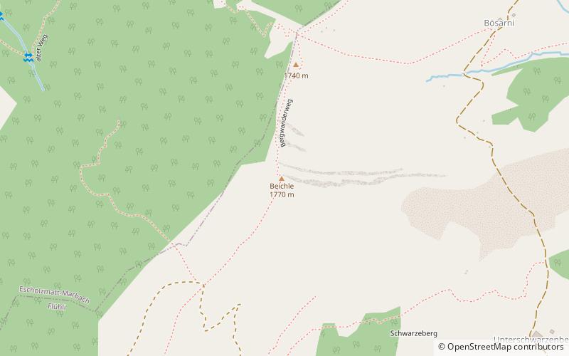
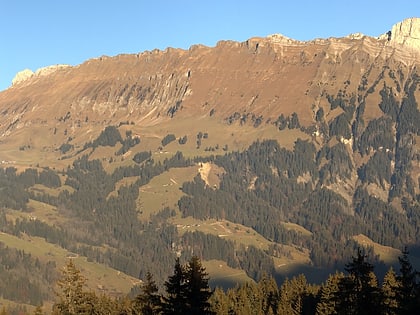
The Beichle is a mountain of the Emmental Alps, overlooking Escholzmatt in the canton of Lucerne. ()
Entlebuch Biosphere Switzerland
Beichle – popular in the area (distance from the attraction)
Nearby attractions include: Schrattenfluh, Wachthubel, Haglere, Schafmatt.
 Nature, Natural attraction, Mountain
Schrattenfluh, Entlebuch Biosphere
114 min walk • The Schrattenfluh is a mountain of the Swiss Alps, located in the upper Emmental, in the canton of Lucerne. The Schrattenfluh is composed of several summits of which the highest is named Hengst.
 Nature, Natural attraction, Mountain
Wachthubel
153 min walk • The Wachthubel is a mountain of the Emmental Alps, located on the border between the Swiss cantons of Bern and Lucerne. The mountain is located between Schangnau and Marbach.
 Nature, Natural attraction, Mountain
Haglere
137 min walk • The Haglere or Hagleren is a mountain of the Emmental Alps, located on the border between the cantons of Lucerne and Obwalden. It overlooks Sörenberg on its south side.
 Nature, Natural attraction, Mountain
Schafmatt, Entlebuch Biosphere
112 min walk • The Schafmatt is a mountain of the Emmental Alps, located north of Flühli in the canton of Lucerne. It lies north of the Fürstein, where the border with the canton of Obwalden runs.
 Nature, Natural attraction, Mountain
Fürstein, Entlebuch Biosphere
117 min walk • The Fürstein is a mountain of the Emmental Alps, located on the border between the cantons of Lucerne and Obwalden. The closest locality is Flühli, on the western side.
 Monastery
Trub Abbey, Trub
141 min walk • Trub Abbey is a former Benedictine monastery in the municipality of Trub in Bern...
 Nature, Natural attraction, Mountain
Farneren, Entlebuch Biosphere
105 min walk • The Farneren is a mountain of the Emmental Alps, overlooking Schüpfheim in the canton of Lucerne.
 Locality
Schangnau
183 min walk • Schangnau is a municipality in the administrative district of Emmental in the canton of Bern in Switzerland.
 Nature, Natural attraction, Natural feature
Emmental Alps, Entlebuch Biosphere
112 min walk • The Emmental Alps are a mountain range in the western part of the Alps, in Switzerland. They are located north-west of the Brünig Pass, mainly in the cantons of Lucerne, Bern, and Obwalden, with a small portion in the canton of Nidwalden.
 Locality
Flühli
60 min walk • Flühli is a municipality in the district of Entlebuch in the canton of Lucerne in Switzerland. The municipality consists of the villages of Flühli and Sörenberg, which form independent parishes.
 Locality
Escholzmatt-Marbach
56 min walk • Escholzmatt-Marbach is a municipality in the district of Entlebuch in the canton of Lucerne in Switzerland. On 1 January 2013 the former municipalities of Escholzmatt and Marbach merged to form the new municipality of Escholzmatt-Marbach.
