Piz Curvér
Map
Gallery
Facts and practical information
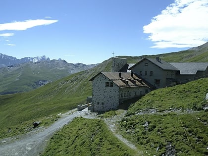
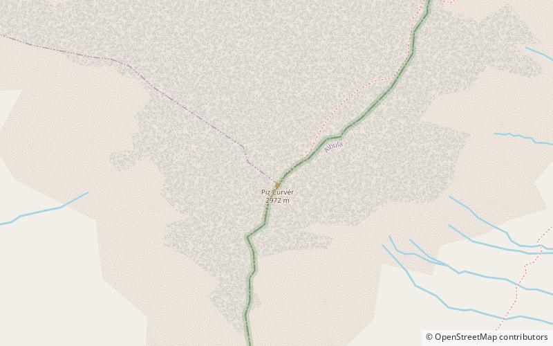
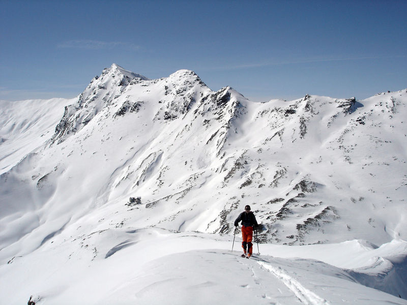
Piz Curvér is a mountain of the Oberhalbstein Range, between Andeer and Savognin, in the canton of Graubünden. With a height of 2,972 metres above sea level, it is the highest point of the chain north of the pass Fuorcla Cotschna. On its eastern flank lies the holy pilgrimage site of Ziteil, at 2,434 metres above sea level. ()
Location
Graubünden
ContactAdd
Social media
Add
Day trips
Piz Curvér – popular in the area (distance from the attraction)
Nearby attractions include: Viamala, Tschappina, Solis Viaduct, Rofla Gorge.


