Lake Sarnen
Map
Map

Facts and practical information
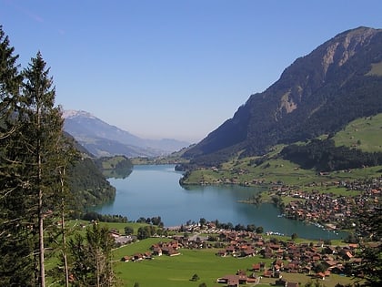
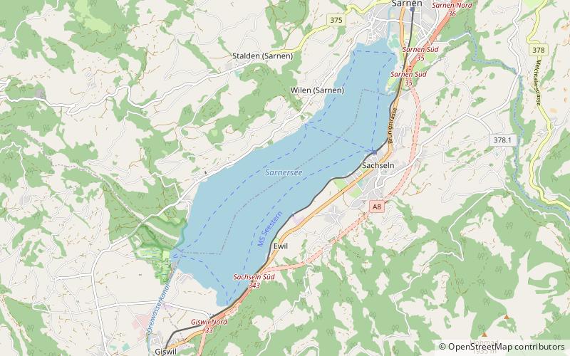
Lake Sarnen is a lake in the Swiss canton of Obwalden. The lake is on the Sarner Aa, which flows out of the Lake Lungern, through the Lake Sarnen, and into Lake Lucerne. The municipalities of Sarnen and Sachseln are located on the shores of the lake, and the Brünig railway line follows the eastern shore. ()
Local name: Sarnersee Area: 2.9 mi²Length: 3.54 miWidth: 5249 ftMaximum depth: 167 ftElevation: 1539 ft a.s.l.Coordinates: 46°52'0"N, 8°13'0"E
Location
Obwalden
ContactAdd
Social media
Add
Day trips
Lake Sarnen – popular in the area (distance from the attraction)
Nearby attractions include: Lake Lungern, Rudenz Castle, Wichelsee, Rosenberg Castle.

