Wandelen
#1369 among destinations in Switzerland
Facts and practical information
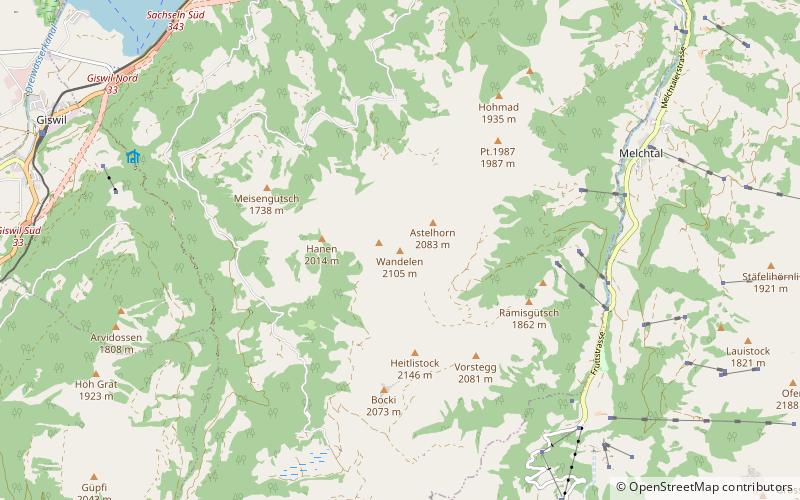
The Wandelen is a mountain of the Urner Alps, overlooking Lake Sarnen in the canton of Obwalden. It lies at the northern end of the chain between the Klein Melchtal and the Melchtal. ()
ObwaldenSwitzerland
Wandelen – popular in the area (distance from the attraction)
Nearby attractions include: Tannensee, Lake Lungern, Rudenz Castle, Lake Sarnen.
 Nature, Natural attraction, Lake
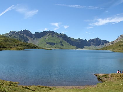
Tannensee
112 min walk • Tannensee is a reservoir in Obwalden, Switzerland. In 1958, Tannenbach and few other creeks were dammed with an earth-fill dam. The reservoir has a volume of 3.8 mio m³ and its surface area is 33 ha. The reservoir is used to generate electricity at Kraftwerk Hugschwendi in Kerns.
 Nature, Natural attraction, Lake
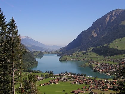
Lake Lungern
112 min walk • Lake Lungern is a natural lake in Obwalden, Switzerland which is named after the town Lungern on its shore. The lake is drained by the Sarner Aa river, which flows through the Sarnersee and into Lake Lucerne.
 Forts and castles
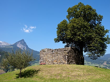
Rudenz Castle, Giswil
79 min walk • Rudenz Castle is a ruined castle atop a hill in the municipality of Giswil in the canton of Obwalden in Switzerland. The castle and surroundings are a Swiss heritage site of national significance.
 Nature, Natural attraction, Lake
Lake Sarnen
86 min walk • Lake Sarnen is a lake in the Swiss canton of Obwalden. The lake is on the Sarner Aa, which flows out of the Lake Lungern, through the Lake Sarnen, and into Lake Lucerne.
 Nature, Natural attraction, Mountain
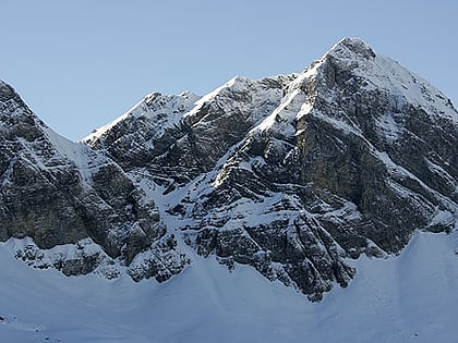
Hochstollen
88 min walk • The Hochstollen is a mountain of the Urner Alps, located between the Klein Melchtal and the Melchtal in the canton of Obwalden. The border with the canton of Bern runs south of the summit. The closest locality is Melchsee-Frutt on its east side.
 Nature, Natural attraction, Lake
Melchsee
97 min walk • Melchsee is a lake in the canton of Obwalden, Switzerland. It lends its name to the resort Melchsee-Frutt, in the municipality of Kerns. At an elevation of 1891 m, its surface area is 54 ha.
 Forts and castles
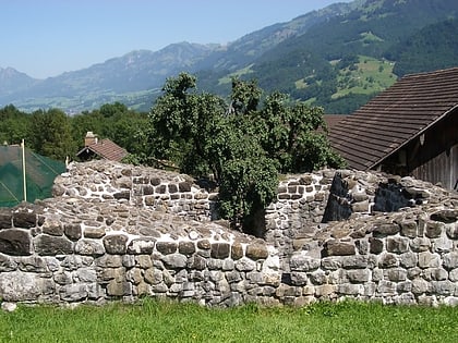
Rosenberg Castle
113 min walk • Rosenberg Castle is a ruined castle in the municipality of Giswil in the canton of Obwalden in Switzerland.
 Nature, Natural attraction, Mountain
Rotsandnollen
123 min walk • The Rotsandnollen is a mountain of the Urner Alps, located between Melchsee-Frutt and Engelberg in Central Switzerland. The summit is located on the border between the cantons of Nidwalden and Obwalden.
 Forts and castles
Witch Tower, Sarnen
129 min walk • The Hexenturm is a stone tower in the municipality of Sarnen in the canton of Obwalden in Switzerland. It is a Swiss heritage site of national significance. The name refers to it being used as a prison for suspected witches in the 17th century. Today it houses the Cantonal Archives of Obwalden.
 Nature, Natural attraction, Mountain
Haupt Mountain
64 min walk • The Haupt is a mountain of the Urner Alps, located between the Klein Melchtal and the Melchtal in the canton of Obwalden. Its east side consists of steep limestone cliffs overlooking Stöckalp and Melchsee-Frutt. On its west side it overlooks the Älggi-Alp.
 Nature, Natural attraction, Mountain
Glogghüs
112 min walk • The Glogghüs is a mountain of the Urner Alps, located on the border between the Swiss cantons of Obwalden and Bern. On its northern side it overlooks the Melchsee and the village of Melchsee-Frutt.