Widdersgrind
#1900 among destinations in Switzerland
Facts and practical information
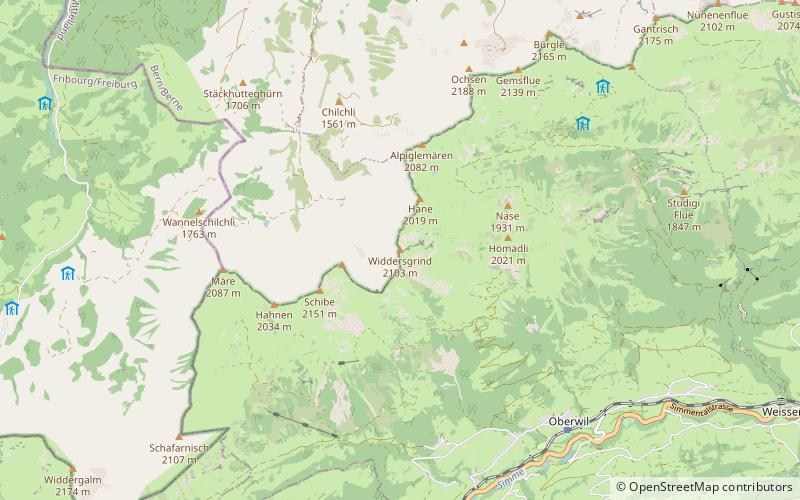
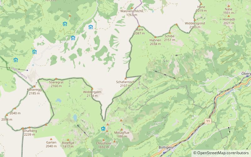
The Widdersgrind is a mountain in the Bernese Alps north of Oberwil in the canton of Bern. Its summit is the tripoint between the valleys of Hengstschlund, Morgete, and Simmental. ()
BernSwitzerland
Widdersgrind – popular in the area (distance from the attraction)
Nearby attractions include: Gantrisch, Bäderhorn, Kaiseregg, Pfyffe.
 Nature, Natural attraction, Mountain
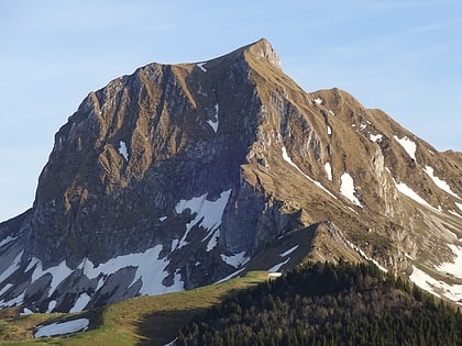
Gantrisch
72 min walk • The Gantrisch is a mountain in the north-western Bernese Alps, located between the Simmental and the Aar valley in the canton of Bern. The mountain lies near Gurnigel Pass, from where it is usually climbed. A trail leads to the summit.
 Nature, Natural attraction, Mountain
Bäderhorn
149 min walk • The Bäderhorn is a mountain of the Bernese Alps, located north of the Jaun Pass in the canton of Bern. It lies on the range between the valleys of Jaun and Simmental.
 Nature, Natural attraction, Mountain
Kaiseregg
115 min walk • The Kaiseregg is a mountain in the Bernese Alps, overlooking Schwarzsee in the canton of Fribourg. Its summit, which can be accessed by trail, is located a few hundred meters from the border with the canton of Bern.
 Nature, Natural attraction, Mountain
Pfyffe
121 min walk • The Pfyffe is a mountain of the Bernese Alpine foothills located between the municipalities of Guggisberg and Rüschegg in the canton of Bern. It is part of the wooded range north of the Gurnigel Pass, which culminates at the Selibüel. On the southern slopes of the mountain lies the small resort of Ottenleuebad.
 Forts and castles
Weissenburg Castle
87 min walk • Weissenburg Castle is a ruined castle in the municipality of Därstetten of the Canton of Bern in Switzerland.
 Nature, Natural attraction, Lake
Oberstockensee
139 min walk • Oberstockensee is a small lake in the Canton of Bern, Switzerland. Its surface area is 11.8 ha. The lake is located above the village of Erlenbach im Simmental, below Stockhorn.
 Nature, Natural attraction, Mountain
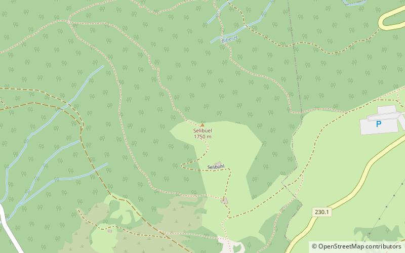
Selibüel
103 min walk • The Selibüel is a mountain of the Bernese Alpine foothills, located in the municipality of Rüschegg in the canton of Bern. It is the culminating point of the wooded range that lies north of the Gurnigel Pass, between the valleys of the Sense and the Aare.
 Nature, Natural attraction, Mountain
Ochsen
41 min walk • The Ochsen is a 2,188.4 metres high mountain in the Bernese Alps, overlooking Schwefelbergbad in the canton of Bern. It is the highest mountain of the Gantrisch chain. The Louigrat is the easiest path, taking approximately 3 hours. Another path goes via the north ridge via Chli Ochsen.
 Nature, Natural attraction, Mountain
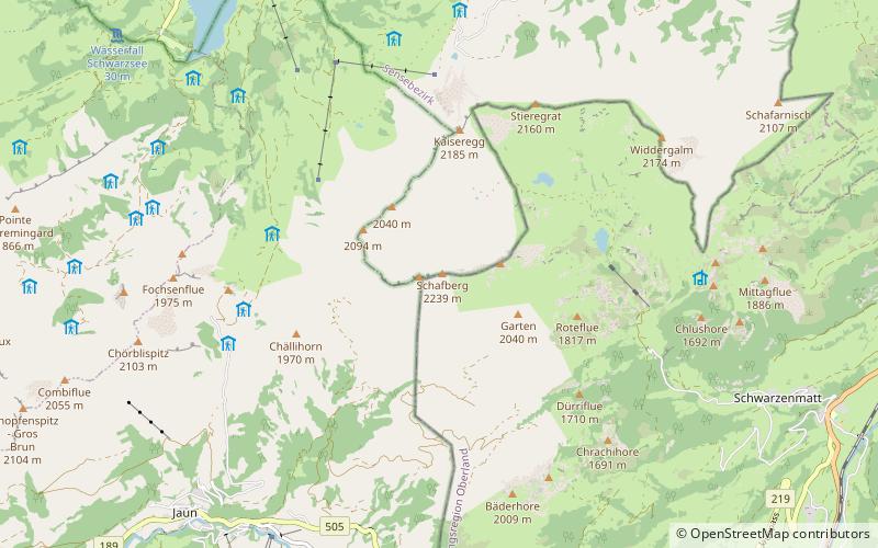
Schafberg
132 min walk • The Schafberg is a mountain peak above Boltigen located on the border between the cantons of Fribourg and Berne, north of Jaun. With a height 2,239 metres above sea level, it is the highest summit on the range lying north of the Jaun Pass. It is also the most isolated mountain in the canton of Fribourg.
 Nature, Natural attraction, Mountain
Märe
38 min walk • The Märe is a mountain of the Bernese Alps, located on the border between the Swiss cantons of Fribourg and Bern. The Märe lies approximately halfway between Schwarzsee and Oberwil im Simmental.
 Nature, Natural attraction, Mountain
Schafarnisch
61 min walk • The Schafarnisch is a mountain of the Bernese Alps, located on the border between the Swiss cantons of Fribourg and Bern. It lies north of Boltigen, in the group culminating at the Schafberg.