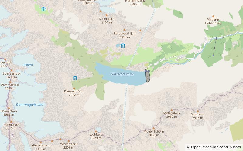
Göscheneralpsee

Gallery (1)
Map
Map
Facts and practical information
Göscheneralpsee is a reservoir in the municipality of Göschenen, Canton of Uri, Switzerland. The volume of the reservoir is 76 million cubic metres and its surface area 1.32 km2. ()
Alternative names: Area: 0.51 mi²Length: 8957 ftWidth: 2723 ftMaximum depth: 348 ftElevation: 5879 ft a.s.l.Coordinates: 46°38'45"N, 8°29'2"E
Location
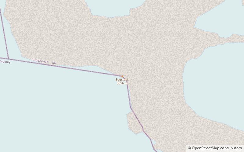
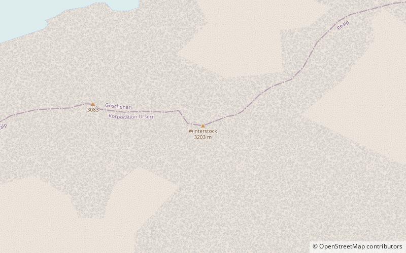
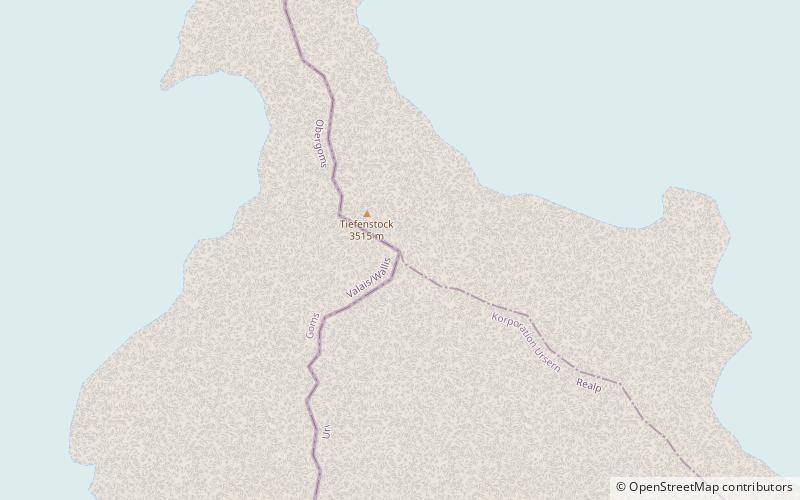
Uri
ContactAdd
Social media
Add
Day trips