Winterstock
#1272 among destinations in Switzerland

Facts and practical information
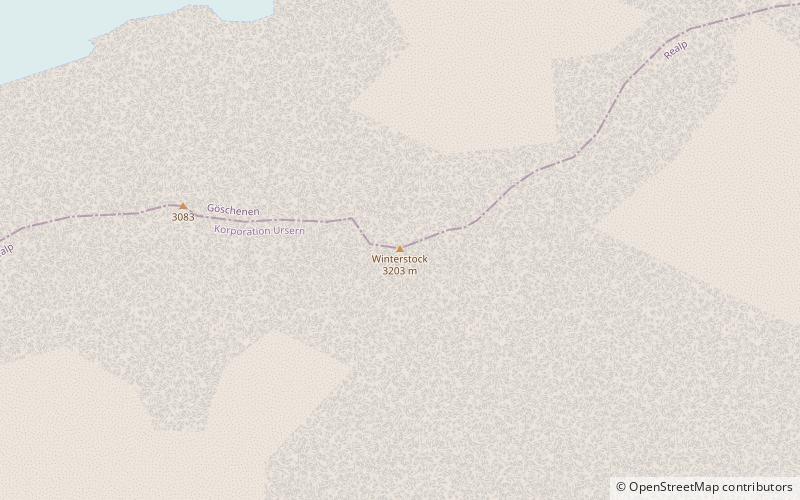
The Winterstock is a mountain of the Urner Alps, located west of Realp in the canton of Uri. It lies on the range east of the Tiefenstock, that separates the Göschenertal from the valley called Urseren. ()
UriSwitzerland
Winterstock – popular in the area (distance from the attraction)
Nearby attractions include: Galenstock, Göscheneralpsee, Dammastock, Eggstock.
 Nature, Natural attraction, Mountain
Galenstock
47 min walk • The Galenstock is the fourth highest mountain in the Urner Alps in Switzerland. Its summit ridge lies on the border between the cantons of Uri and the Valais.
 Nature, Natural attraction, Lake
Göscheneralpsee
58 min walk • Göscheneralpsee is a reservoir in the municipality of Göschenen, Canton of Uri, Switzerland. The volume of the reservoir is 76 million cubic metres and its surface area 1.32 km².
 Nature, Natural attraction, Mountain
Dammastock
58 min walk • The Dammastock is the highest mountain in the Urner Alps in Switzerland and is part of the Winterberg massif. Its summit ridge forms the border between the cantons of Uri and the Valais. It is the highest summit in the canton of Uri.
 Nature, Natural attraction, Mountain
Eggstock
71 min walk • The Eggstock, is a minor prominence of the Uri Alps, forming the northern pillar of the Dammastock on the border between the cantons of Valais and Uri. The tripoint between the cantons of Bern, Valais and Uri is located 600 m west of the summit.
 Nature, Natural attraction, Mountain
Klein Furkahorn
84 min walk • The Klein Furkahorn is a mountain of the Urner Alps, overlooking the Furka Pass on the border between the Swiss cantons of Valais and Uri. It lies near the southern end of the Galenstock-Gross Furkahorn chain, east of the Rhone Glacier. From the Furka Pass a trail leads to its summit.
 Nature, Natural attraction, Mountain
Schneestock
63 min walk • The Schneestock is a mountain of the Urner Alps, located on the border between the Swiss cantons of Valais and Uri. It lies north of the Dammastock, between the Rhone Glacier and the Damma Glacier.
 Nature, Natural attraction, Mountain
Gross Furkahorn
68 min walk • The Gross Furkahorn is a mountain of the Urner Alps, located on the border between the Swiss cantons of Valais and Uri. It lies north of the Furka Pass and east of the Rhone Glacier.
 Nature, Natural attraction, Natural feature
Appenzell Alps
57 min walk • The Appenzell Alps are a mountain range in Switzerland on the northern edge of the Alps. They extend into the cantons of Appenzell Ausserrhoden, Appenzell Innerrhoden and St.
 Nature, Natural attraction, Natural feature
Damma Glacier
34 min walk • The Damma Glacier is a 2 km long glacier situated in the Urner Alps in the canton of Uri in Switzerland. In 1973 it had an area of 5.09 km².
 Nature, Natural attraction, Mountain pass
Furka Pass
97 min walk • Furka Pass, with an elevation of 2,429 metres, is a high mountain pass in the Swiss Alps connecting Gletsch, Valais with Realp, Uri. The Furka Oberalp Bahn line through the Furka Tunnel bypasses the pass. The base tunnel opened in 1982 and replaced a tunnel at 2100 metres.
 Nature, Natural attraction, Mountain
Uri Alps
57 min walk • The Uri Alps are a mountain range in Central Switzerland and part of the Western Alps. They extend into the cantons of Obwalden, Valais, Bern, Uri and Nidwalden and are bordered by the Bernese Alps and the Emmental Alps to the west, the Schwyzer Alps to the north, the Lepontine Alps to the south and the Glarus Alps to the east.