Gletscherhorn

Gallery (1)
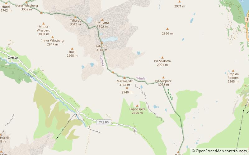
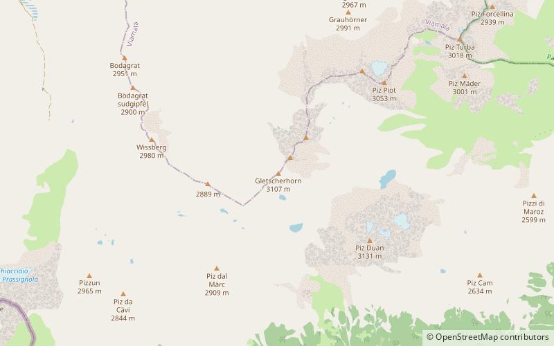
Map
Map
Facts and practical information
The Gletscherhorn is a mountain of the Oberhalbstein Alps, located between the valleys of Bergalga and Maroz, in the canton of Graubünden. It is situated north-west of Piz Duan. ()
Location
Graubünden
ContactAdd
Social media
Add
Day trips