Piz Turba
#653 among destinations in Switzerland


Facts and practical information
Piz Turba is a mountain of the Oberhalbstein Alps, located between Juf and Casaccia, west of the Septimer Pass, in the canton of Graubünden. ()
GraubündenSwitzerland
Piz Turba – popular in the area (distance from the attraction)
Nearby attractions include: Lägh da Cavloc, Castelmur Castle, Lägh dal Lunghin, Via Alpina.
 Nature, Natural attraction, Lake
Lägh da Cavloc
132 min walk • Nestled in the heart of the Swiss Alps, Lägh da Cavloc is a serene mountain lake that offers a tranquil escape from the hustle and bustle of everyday life. This alpine gem, located in the canton of Graubünden, is a pristine example of nature's beauty, with...
 Museum, Forts and castles
Castelmur Castle
123 min walk • Nestled in the picturesque landscape of the Swiss Alps, Castelmur Castle stands as a testament to the rich history and architectural heritage of Switzerland. This storied castle, located in the canton of Graubünden, dates back to the 12th century, with significant...
 Nature, Natural attraction, Lake
Lägh dal Lunghin
85 min walk • Lägh dal Lunghin is a lake at an elevation of 2484 m, below the peak of Piz Lunghin, in the Graubünden, Switzerland. It is considered the source of the Inn River.
 Hiking trail, Hiking
Via Alpina
138 min walk • The Via Alpina is a network of five long-distance hiking trails across the alpine regions of Slovenia, Austria, Germany, Liechtenstein, Switzerland, Italy, France, and Monaco.
 Nature, Natural attraction, Mountain
Piz Lunghin
79 min walk • Piz Lunghin is a mountain in the Swiss canton of Graubünden, located in the Albula range, overlooking the Maloja Pass. It is considered as the "roof of Europe" as the peak is nearby the triple watershed of the Lunghin pass.
 Nature, Natural attraction, Mountain
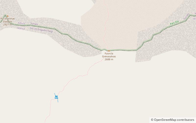
Piz Grevasalvas
87 min walk • Piz Grevasalvas is a mountain of the Albula Alps, located north of Maloja in the canton of Graubünden. It lies on the range between the Julier Pass and Lake Sils.
 Mountain
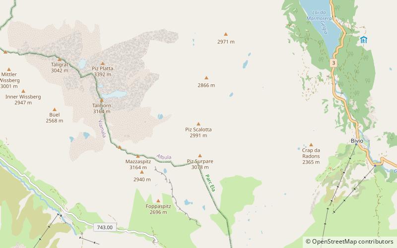
Piz Scalotta
111 min walk • Piz Scalotta is a mountain of the Oberhalbstein Alps, located west of Bivio in the canton of Graubünden. It lies north of Piz Surparé.
 Nature, Natural attraction, Lake
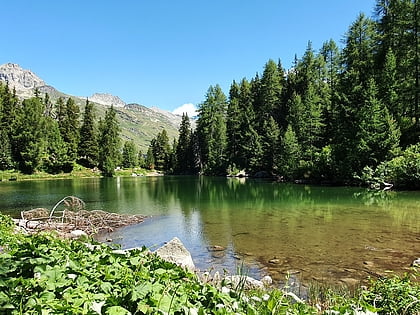
Lägh da Bitabergh
104 min walk • Lägh da Bitabergh is a lake near Maloja Pass in Val Bregaglia, Grisons, Switzerland.
 Mountain
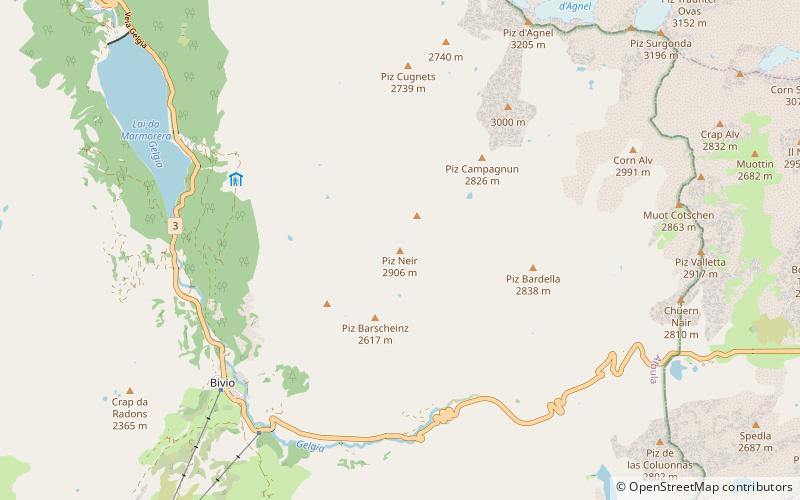
Piz Neir, Sils im Engadin/Segl
159 min walk • Piz Neir is a mountain of the Albula Alps, overlooking Bivio in the canton of Graubünden. It lies on the group south of Piz d'Agnel.
 Mountain
Piz Materdell, Sils im Engadin/Segl
113 min walk • Piz Materdell is a mountain of the Albula Alps, overlooking Lake Sils in the canton of Graubünden. It lies on the range between the Septimer Pass and the Julier Pass, which culminates at Piz Lagrev.
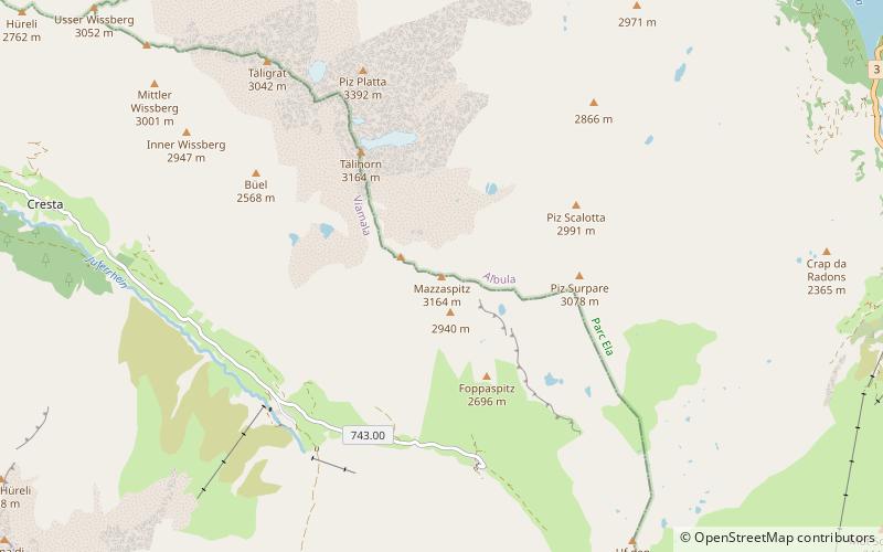 Mountain
Mazzaspitz
104 min walk • The Mazzaspitz is a mountain of the Oberhalbstein Alps, overlooking Juf in the canton of Graubünden. It lies south of Piz Platta, on the range between the valley of Avers and the Val Bercla.
