Cape au Moine, Les Diablerets
#7 among attractions in Les Diablerets


Facts and practical information
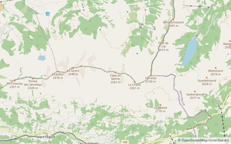
The Cape au Moine is a mountain of the Bernese Alps, located between L'Etivaz and Les Diablerets in the canton of Vaud. It lies east of La Para. ()
Les Diablerets Switzerland
Cape au Moine – popular in the area (distance from the attraction)
Nearby attractions include: Scex Rouge, Lac Lioson, Pic Chaussy, Peak Walk.
4 miSENature, Natural attraction, MountainScex Rouge, Les Diablerets
103 min walk • The Scex Rouge is a mountain of the Alps, overlooking Les Diablerets in the canton of Vaud.
2.1 miWNature, Natural attraction, LakeLac Lioson, Les Diablerets
55 min walk • Lac Lioson is a lake in the municipality of Ormont-Dessous, near Les Mosses, in the canton of Vaud, Switzerland. Its surface area is 7 ha. The lake is used for fishing and ice diving.
2.9 miWNature, Natural attraction, MountainPic Chaussy, Les Diablerets
73 min walk • Pic Chaussy is a mountain of the Bernese Alps, overlooking Les Diablerets to the south. On its northern side lies the Lac Lioson, whilst the Col des Mosses pass flanks its western side.
4 miSView point, Mountain, BridgePeak Walk, Les Diablerets
102 min walk • Peak Walk is a pedestrian suspension bridge linking two mountain peaks in the Swiss Alps. It is situated in the Diablerets massif of the Bernese Alps in the canton of Vaud, and connects the peak of Scex Rouge with another peak.
2.2 miENature, Natural attraction, LakeArnensee
56 min walk • Arnensee is a lake in Canton of Berne, Switzerland. The lake in the municipality of Gsteig is used as a reservoir by Romande Energie. The dam was built in 1942. Its volume is 10.5 mio m³ and surface area 0.456 km².
4.2 miSENature, Natural attraction, MountainOldenhorn
108 min walk • The Oldenhorn is a mountain in the western Bernese Alps in Switzerland. The summit is the tripoint between the cantons of Vaud, Berne and Valais. The Oldenhorn is the second highest peak of the massif of the Diablerets and canton of Vaud. It overlooks the Tsanfleuron Glacier on the south and the Col du Pillon on the north.
4.5 miNNature, Natural attraction, MountainRocher du Midi
114 min walk • The Rocher du Midi is a mountain in the western Bernese Alps, overlooking Château d'Oex in the canton of Vaud. It is located on the massif between the valley of the Sarine and L'Etivaz and culminating at the Gummfluh.
4.3 miNNature, Natural attraction, MountainGummfluh
110 min walk • The Gummfluh is a mountain in the western Bernese Alps, located on the border between the Swiss cantons of Vaud and Berne. It is the highest peak in the chain of mountains on the south side of the Pays d'Enhaut and it lies approximately halfway between Château d'Oex and Gstaad.
1.2 miWNature, Natural attraction, MountainLe Tarent, Les Diablerets
31 min walk • Le Tarent is a mountain in the western Bernese Alps, overlooking Les Diablerets in the canton of Vaud. At 2,548 metres above sea level, it is the highest mountain of the range lying north of the Col du Pillon.
1 miWNature, Natural attraction, MountainLa Para, Les Diablerets
26 min walk • La Para is a mountain of the western Bernese Alps, overlooking Les Diablerets in the canton of Vaud.
3.1 miNENature, Natural attraction, MountainWittenberghorn
79 min walk • The Wittenberghorn is a mountain of the Bernese Alps, located on the border between the Swiss cantons of Vaud and Bern. It lies approximately halfway between L'Etivaz and Feutersoey, south of the Col de Jable.