Wittenberghorn

Gallery (1)
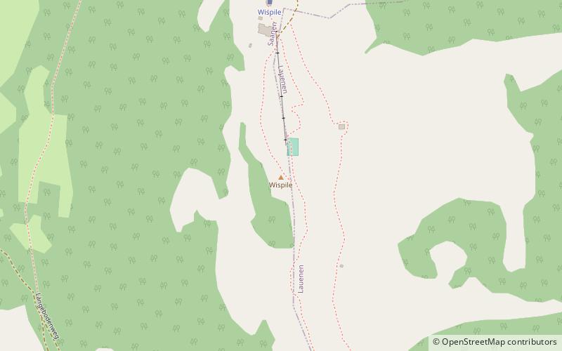
Map
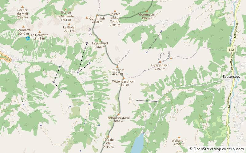
Map
Facts and practical information
The Wittenberghorn is a mountain of the Bernese Alps, located on the border between the Swiss cantons of Vaud and Bern. It lies approximately halfway between L'Etivaz and Feutersoey, south of the Col de Jable. ()
Location
Vaud
ContactAdd
Social media
Add
Day trips