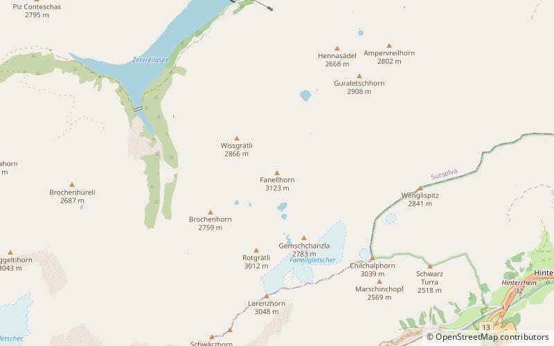
Fanellhorn
#758 among destinations in Switzerland

Facts and practical information
The Fanellhorn is a mountain in the Lepontine Alps of Graubünden, Switzerland, south of Vals. ()
GraubündenSwitzerland
Fanellhorn plan & book
Unleash the traveler in you — discover the cheapest flight deals, find the perfect hotel or hostel nearby, and search for the best car rental prices. Travel at your own pace to discover new places and enjoy your journey.
Fanellhorn – popular in the area (distance from the attraction)
Nearby attractions include: Rheinwaldhorn, Zervreilasee, Guraletschsee, Amperveilsee.
 Ridged alp summit first climbed in 1789
Rheinwaldhorn
146 min walk • The Rheinwaldhorn is the highest point in the Swiss canton of Ticino at 3,402 metres above sea level. It lies on the border between the cantons of Graubünden and Ticino, in the Adula massif, part of the St.
 Nature, Natural attraction, Lake
Zervreilasee
51 min walk • Zervreilasee is a reservoir located south-west of Vals in the canton of Graubünden, Switzerland.
 Nature, Natural attraction, Lake
Guraletschsee
25 min walk • Guraletschsee is a lake above Vals in the canton of Grisons, Switzerland. The lake lies entirely on territory of the municipality of Vals. The water from the lake runs down north and is suspected to be divertet to Lake Zervreila at the level of its dam.
 Nature, Natural attraction, Lake
Amperveilsee
49 min walk • Amperveilsee is a lake above Vals in the canton of Grisons, Switzerland. A popular hike starts at Zervreila, passes the three remote lakes Guraletschsee, Amperveilsee and Selvasee and descends via Selva Alp to Vals. Vals is famous for its spa.
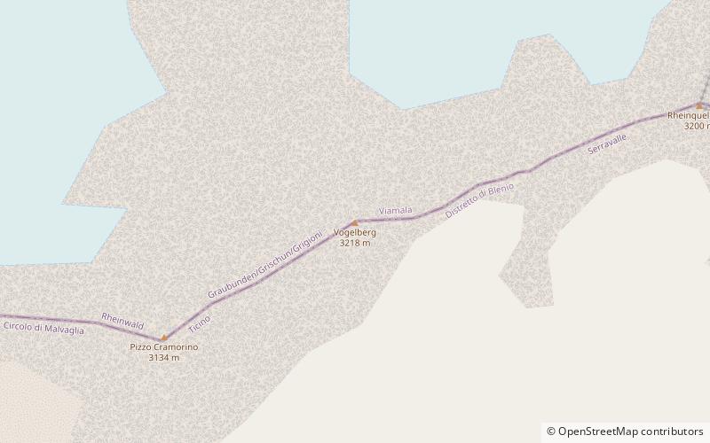 Nature, Natural attraction, Mountain
Vogelberg
146 min walk • The Vogelberg is a 3,218 metres high mountain of the Lepontine Alps, located on the border between the Swiss cantons of Ticino and Graubünden. It is the highest summit of the Lepontine Alps south of the Rheinwaldhorn.
 Nature, Natural attraction, Mountain
Bärenhorn
133 min walk • The Bärenhorn is a mountain of the Lepontine Alps, situated between Vals and Nufenen in Graubünden, on territory of both municipalities. The northeastern face lies on territory of Safien. A popular hike starts at Zervreila, passes three remote lakes and descends via Selva Alp to Vals. Vals is famous for its spa.
 Nature, Natural attraction, Mountain
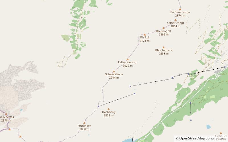
Frunthorn
85 min walk • The Frunthorn is a mountain of the Swiss Lepontine Alps, overlooking the Zervreilasee in the canton of Graubünden. It is located west of Vals, on the ridge between the Val Lumnezia and the Valsertal.
 Nature, Natural attraction, Mountain
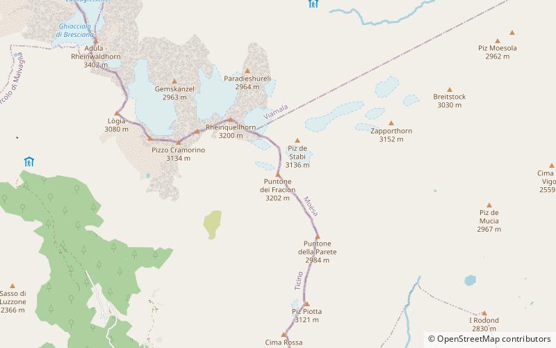
Puntone dei Fraciòn
146 min walk • Puntone dei Fraciòn is a 3,202-metre-high mountain in the Lepontine Alps, located on the border between the Swiss cantons of Ticino and Graubünden. It is the highest peak of the Calanca valley. On its west side it overlooks the valley of Malvaglia. It lies approximately halfway between the Vogelberg and the Zapporthorn.
 Nature, Natural attraction, Mountain
Güferhorn
103 min walk • The Güferhorn is a mountain in the Lepontine Alps, located between the valleys of Vals and Hinterrhein in Graubünden. At 3,379 metres above sea level it is the highest summit of the Lepontine Alps lying east of the Rheinwaldhorn.
 Nature, Natural attraction, Mountain
Schwarzhorn
110 min walk • The Schwarzhorn is a mountain of the Swiss Lepontine Alps, located west of Vals in the canton of Graubünden. It lies on the range between the Lumnezia and the Valser Tal, south of the Faltschonhorn.
 Nature, Natural attraction, Mountain
Zapporthorn
122 min walk • The Zapporthorn or Pizzo Zapport is a mountain of the Swiss Lepontine Alps, overlooking San Bernardino Pass in Graubünden. Its summit is the tripoint between the valleys of Hinterrhein, Calanca and Mesolcina.


