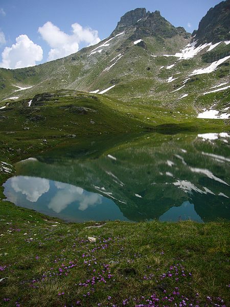
Guraletschsee

Gallery (2)
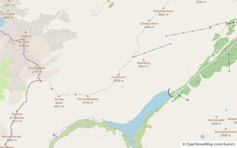
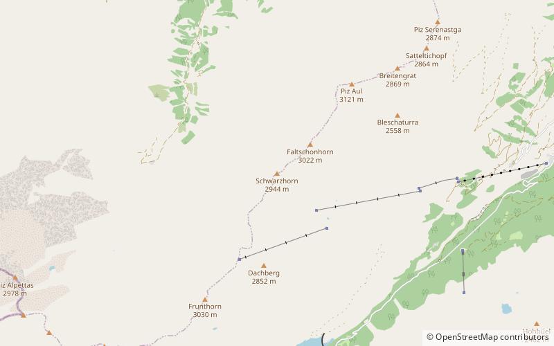
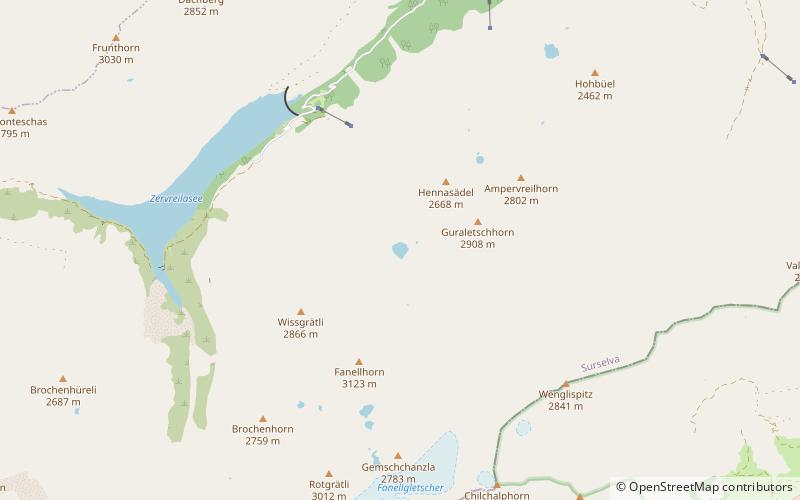
Map
Map
Gallery
Facts and practical information
Guraletschsee is a lake above Vals in the canton of Grisons, Switzerland. The lake lies entirely on territory of the municipality of Vals. ()
Alternative names: Area: 24.71 acres (0.0386 mi²)Maximum depth: 66 ftElevation: 7904 ft a.s.l.Coordinates: 46°33'40"N, 9°8'15"E
Location
Graubünden
ContactAdd
Social media
Add
Day trips