Tell Hadar
Map

Map

Facts and practical information
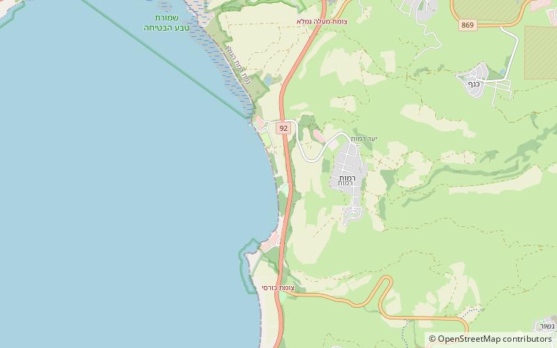
Tell Hadar is an archaeological site on the eastern coast of the Sea of Galilee. It contains a settlement and a port. A wall, 70 metres across, is either of the Late Bronze Age I or Iron I. In between periods of no human presence, it had grown, under the control of an Aramean kingdom; a city plan, granaries, and possibly other storage facilities, were constructed. In the 9th century BC the wall was discarded. An excavation revealed two buildings sharing one wall ()
Coordinates: 32°51'3"N, 35°38'59"E
LocationAdd
ContactAdd
Social media
Add
Day trips
Tell Hadar – popular in the area (distance from the attraction)
Nearby attractions include: Bethsaida, Umm el-Qanatir.


