Umm el-Qanatir
Map

Gallery

Facts and practical information
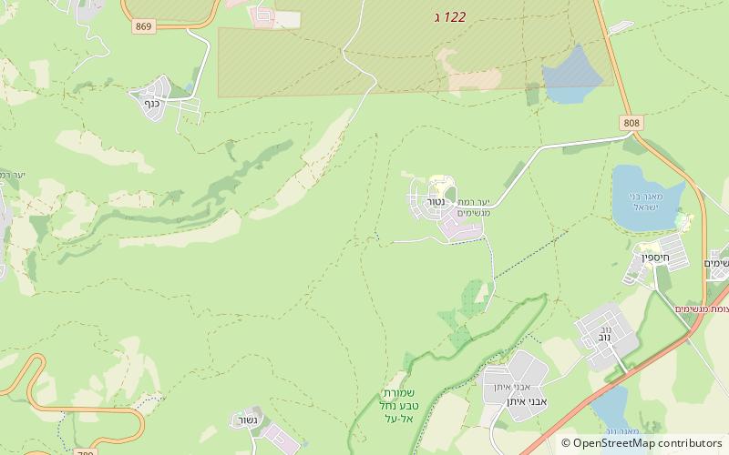
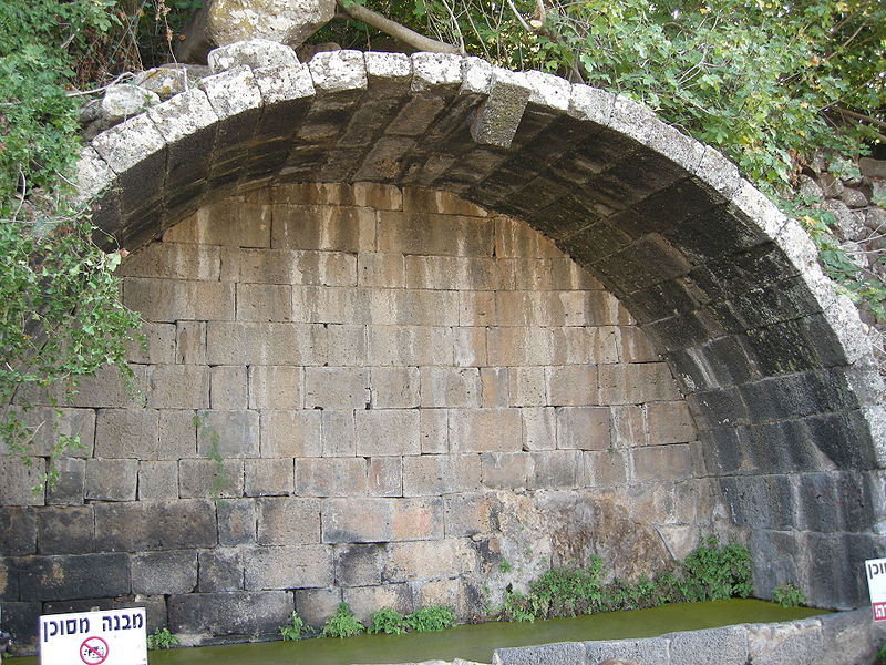
Umm el-Qanatir, also spelled Umm el-Kanatir, also known as Ein Keshatot is an archaeological site on the Golan Heights, whose main phase is dated to the mid-5th - 8th centuries. Excavations have revealed a Roman-period settlement, first inhabited by pagans and later by Jews, who left behind the ruins of an exquisite synagogue when they abandoned the town after it being destroyed by the catastrophic 749 earthquake. The site is located 10 kilometres east of the Dead Sea Transform, one kilometre southwest of Natur. ()
LocationAdd
ContactAdd
Social media
Add
Day trips
Umm el-Qanatir – popular in the area (distance from the attraction)
Nearby attractions include: Rujm el-Hiri, Tal Saki, Tell Hadar.


