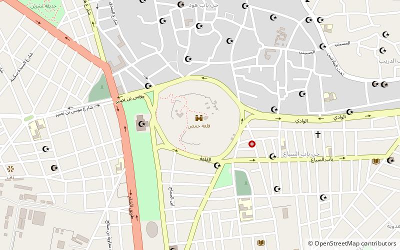
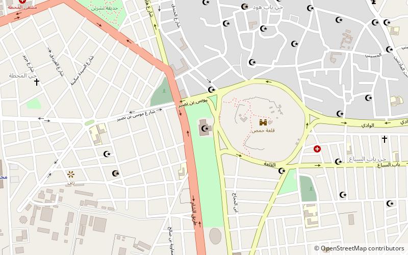
Gates of Homs, Homs
Map
Facts and practical information
The Gates of Homs refer to gates of the city of Homs in central Syria. Historically under the Abbasid dynasty, the city had seven gates. They were the following: ()
Local name: أبواب حمصCoordinates: 34°43'24"N, 36°42'52"E
Address
Homs
ContactAdd
Social media
Add
Getting there by public transportation
Public transportation stops near this location
- Train
 Train
Train
- Calculate routeHoms station 17 min walk
Day trips


Frequently Asked Questions (FAQ)
Which popular attractions are close to Gates of Homs?
Nearby attractions include Citadel of Homs, Homs (1 min walk), Al-Atassi Mosque, Homs (4 min walk), Saint Mary Church of the Holy Belt, Homs (14 min walk), Great Mosque of al-Nuri, Homs (14 min walk).
How to get to Gates of Homs by public transport?
The nearest stations to Gates of Homs:
Train
Train
- Homs station (17 min walk)