Al-Atassi Mosque, Homs
Map
Facts and practical information
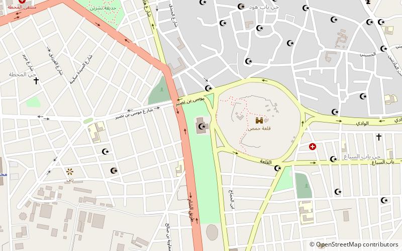
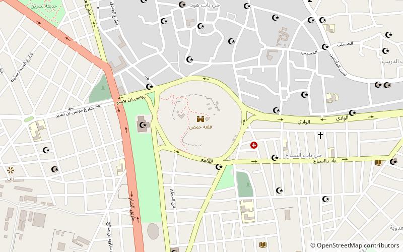
The Al-Atassi Mosque is a mosque in Homs, Syria. It is situated in a public park on the site of a former graveyard at the foot of the mound on which the remains of the citadel stand. The mosque is named after Hashim al-Atassi, three-time Syrian President from the Al-Atassi family, a prominent landowning and politically active family from Homs. ()
Address
Homs
ContactAdd
Social media
Add
Getting there by public transportation
Public transportation stops near this location
- Train
 Train
Train
- Calculate routeHoms station 14 min walk
Day trips


Frequently Asked Questions (FAQ)
Which popular attractions are close to Al-Atassi Mosque?
Nearby attractions include Citadel of Homs, Homs (4 min walk), Gates of Homs, Homs (4 min walk), Great Mosque of al-Nuri, Homs (14 min walk), Quwatli Street, Homs (15 min walk).
How to get to Al-Atassi Mosque by public transport?
The nearest stations to Al-Atassi Mosque:
Train
Train
- Homs station (14 min walk)