Citadel of Homs, Homs
Map
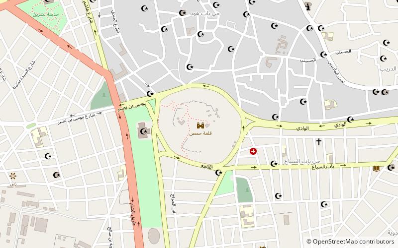
Map

Facts and practical information
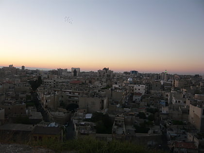
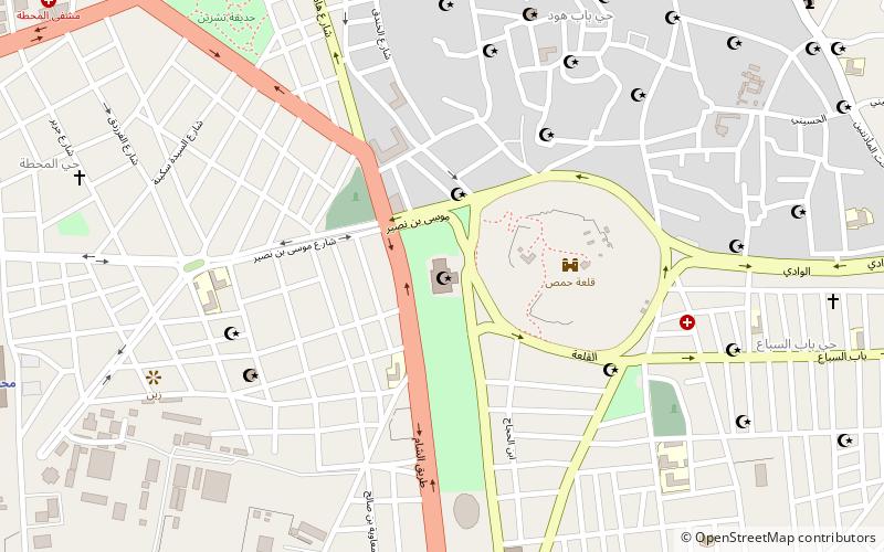
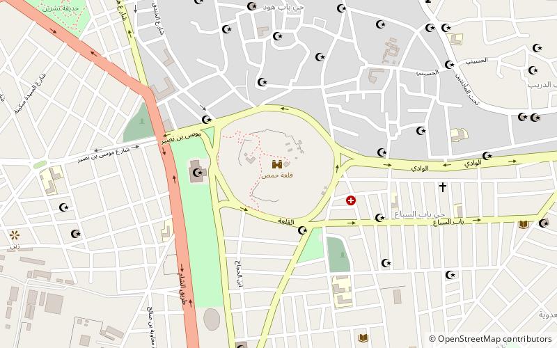
The Citadel of Homs, also known as Homs Castle or Qalaat Homs, is a historic building now mostly ruined in Homs, Syria. The citadel was built on top of an ancient tell southwest of the Old City, with remains dating back to the 3rd millennium BCE. The citadel is locally known as the "Citadel of Usama", named after Usama ibn Munqidh. ()
Address
Homs
ContactAdd
Social media
Add
Day trips
Citadel of Homs – popular in the area (distance from the attraction)
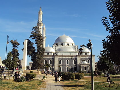
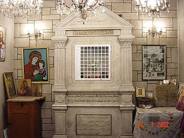
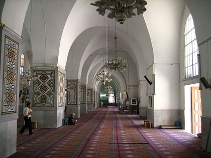
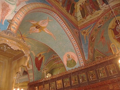
Nearby attractions include: Khalid ibn al-Walid Mosque, Saint Mary Church of the Holy Belt, Necropolis of Emesa, Al-Atassi Mosque.
Frequently Asked Questions (FAQ)
Which popular attractions are close to Citadel of Homs?
Nearby attractions include Gates of Homs, Homs (1 min walk), Al-Atassi Mosque, Homs (4 min walk), Saint Mary Church of the Holy Belt, Homs (13 min walk), Great Mosque of al-Nuri, Homs (14 min walk).
How to get to Citadel of Homs by public transport?
The nearest stations to Citadel of Homs:
Train
Train
- Homs station (17 min walk)
