Ban Mo, Bangkok

Facts and practical information
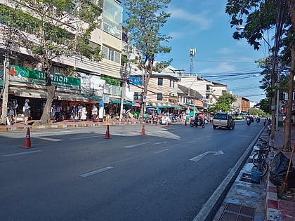
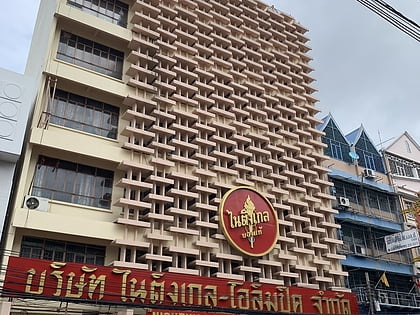
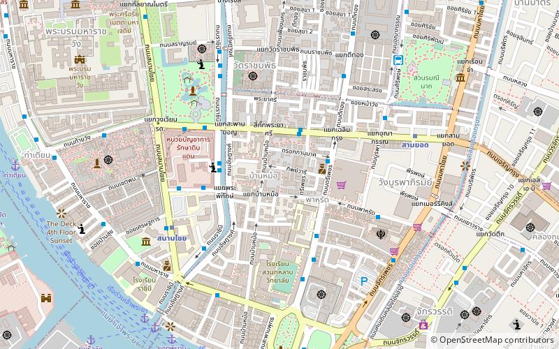
Ban Mo is the name of a street and its corresponding neighbourhood in Bangkok's Wang Burapha Phirom Subdistrict, Phra Nakhon District. It is located just outside the old inner moat in the historic Rattanakosin Island area. The road runs a short distance of 0.6 kilometres from Si Kak Phraya Si Intersection, where it meets Charoen Krung and Fueang Nakhon roads, to meet Chak Phet Road in the Pak Khlong Talat area. It passes the beginning of Phahurat Road at Ban Mo Intersection. It can be considered a road with one-way traffic management. ()
กรุงรัตนโกสินทร์ (พระนคร)Bangkok
Ban Mo – popular in the area (distance from the attraction)
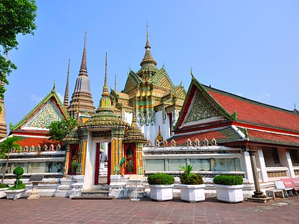
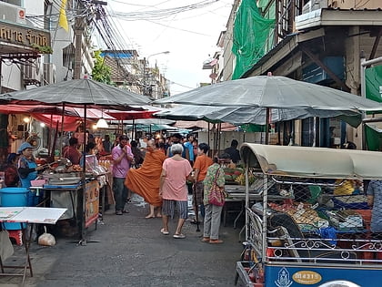
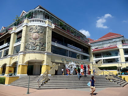
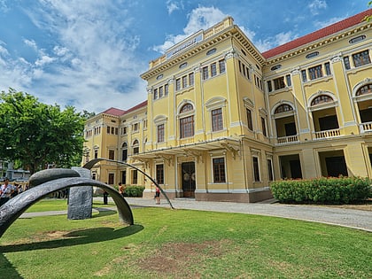
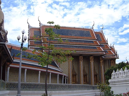
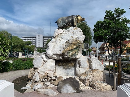
Nearby attractions include: Wat Pho, Pak Khlong Talat, Trok Mo Market, Old Siam Plaza.
Frequently Asked Questions (FAQ)
Which popular attractions are close to Ban Mo?
How to get to Ban Mo by public transport?
Metro
- Sanam Chai • Lines: MRT Blue (7 min walk)
- Sam Yot • Lines: MRT Blue (8 min walk)
Ferry
- Yodpiman (11 min walk)
- Rajinee • Lines: เรือประจำทาง (ไม่มีธง), เส้นทางเดินเรือโดยสารฯ คลองบางกอ (11 min walk)
Bus
- After Democracy Monument • Lines: 2, 511 (20 min walk)
- Public Minivan Station (20 min walk)

