Dinso Road, Bangkok

Facts and practical information
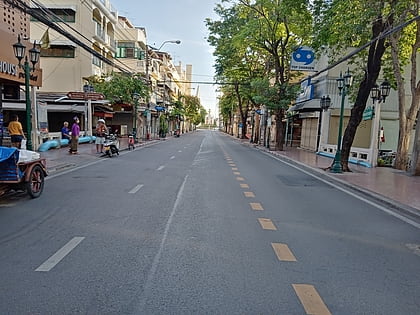
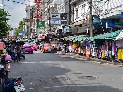
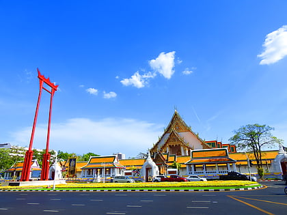
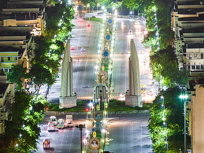
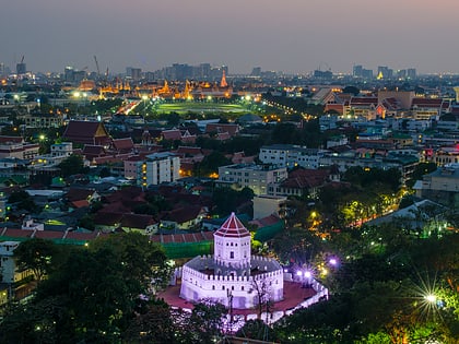
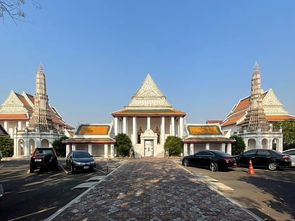
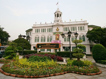
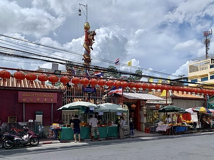
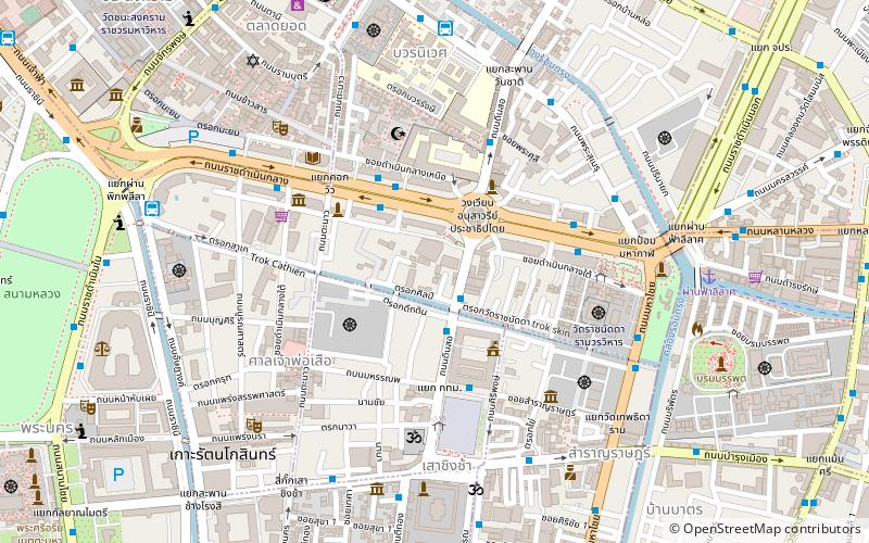
Dinso Road is a road in the area of Rattanakosin Island or Bangkok's old town zone. It begins at the corner of the Giant Swing from Bamrung Mueang and Ti Thong Roads at front of the Devasathan and runs past the side of Bangkok City Hall parallel to Siriphong Road, then cuts across Ratchadamnoen Avenue at the Democracy Monument, passing Satriwittaya School and Wat Bowon Niwet School in the Banglamphu area. The road then reaches its end at the foot of Wan Chat Bridge, where it intersects with Phra Sumen Road and Prachathipatai Road, extending for a total length of 850 metres.The later section has one-way traffic. ()
กรุงรัตนโกสินทร์ (พระนคร)Bangkok
Dinso Road – popular in the area (distance from the attraction)
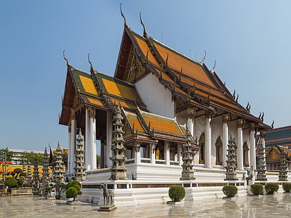
Nearby attractions include: Khaosan Road, Giant Swing, Democracy Monument, Wat Suthat.
Frequently Asked Questions (FAQ)
Which popular attractions are close to Dinso Road?
How to get to Dinso Road by public transport?
Bus
- After Democracy Monument • Lines: 2, 511 (3 min walk)
- Ratchadamnoen • Lines: 2, 511, A4, S1 (4 min walk)
Ferry
- Phanfa Leelard • Lines: Golden Mount (10 min walk)
- Phra Arthit • Lines: เรือด่วนพิเศษธงส้ม, เรือท่องเที่ยวเจ้าพระยา, เรือประจำทาง (ไม่มีธง) (19 min walk)
Metro
- Sam Yot • Lines: MRT Blue (16 min walk)
- Sanam Chai • Lines: MRT Blue (23 min walk)
Train
- Bangkok (40 min walk)
