Kiakkai, Bangkok
Map

Map

Facts and practical information
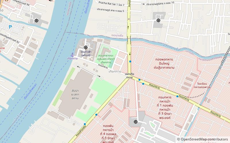
Kiakkai or Kiak Kai is an intersection and neighbourhood in Bangkok's Thanon Nakhon Chai Si Subdistrict, Dusit District. ()
Coordinates: 13°47'51"N, 100°31'13"E
Address
กรุงรัตนโกสินทร์ (ดุสิต)Bangkok
ContactAdd
Social media
Add
Day trips
Kiakkai – popular in the area (distance from the attraction)
Nearby attractions include: Wat Soi Thong, Rama VI Bridge, Rama VII Bridge, Krung Thon Bridge.
Frequently Asked Questions (FAQ)
How to get to Kiakkai by public transport?
The nearest stations to Kiakkai:
Ferry
Metro
Bus
Ferry
- Kiak Kai • Lines: เรือด่วนพิเศษธงส้ม, เรือประจำทาง (ไม่มีธง) (6 min walk)
- Bang Po • Lines: เรือด่วนพิเศษธงส้ม, เรือด่วนพิเศษธงเหลือง, เรือประจำทาง (ไม่มีธง) (16 min walk)
Metro
- Bang Pho • Lines: MRT Blue (16 min walk)
- Bang O • Lines: MRT Blue (19 min walk)
Bus
- Egat • Lines: 1010 มจพ. → สี่แยกบางสีทอง, 50 (29 min walk)
- Opposite Rama 7 Bridge Pier • Lines: 1010 มจพ. → สี่แยกบางสีทอง (29 min walk)


