Carnedd y Ddelw, Snowdonia National Park
Map

Map

Facts and practical information
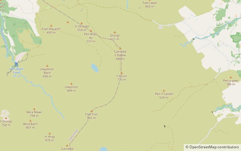
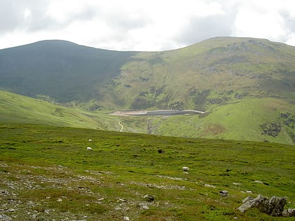
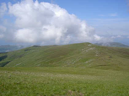
Carnedd y Ddelw is a summit in the Carneddau mountains in north Wales, north-east of Foel-fras. It is the Nuttall top of Drum. Its eastern slopes are drained by the Afon Tafolog, a tributary of Afon Roe that flows through the village of Rowen before joining the River Conwy. It is also the final top on Carnedd Llewelyn's long northern spur. To the north-west is Tal y Fan, the most northerly 2000 foot tall mountain in the Carneddau and Wales. The summit has two large shelter cairns, hollowed out from a large Bronze Age burial cairn. ()
Elevation: 2251 ftProminence: 46 ftCoordinates: 53°12'24"N, 3°56'9"W
Address
Snowdonia National Park
ContactAdd
Social media
Add
Day trips
Carnedd y Ddelw – popular in the area (distance from the attraction)
Nearby attractions include: Foel-fras, Drum, Bera Mawr, Bera Bach.
Frequently Asked Questions (FAQ)
Which popular attractions are close to Carnedd y Ddelw?
Nearby attractions include Bera Mawr, Snowdonia National Park (1 min walk), Bera Bach, Snowdonia National Park (1 min walk), Pen y Castell, Snowdonia National Park (1 min walk), Drum, Snowdonia National Park (2 min walk).


