Bera Mawr, Snowdonia National Park

Gallery (2)
Map
Map
Gallery
Facts and practical information
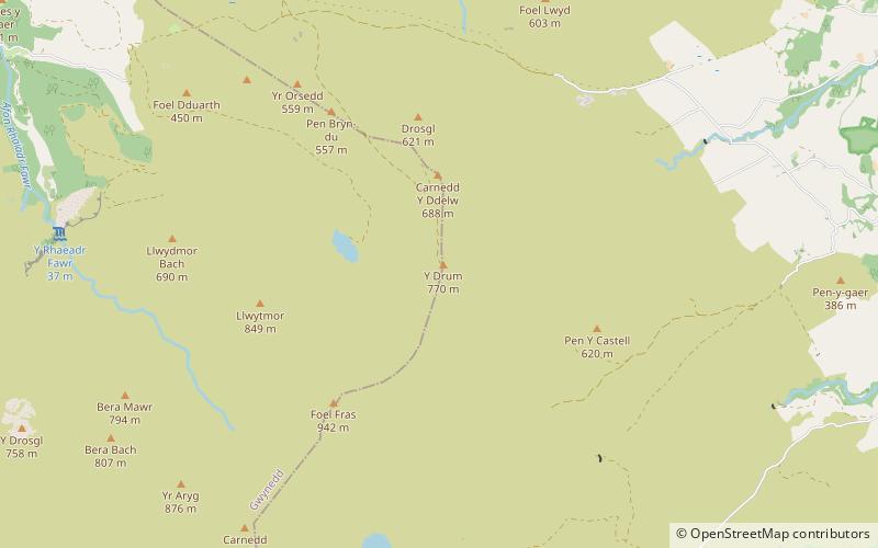
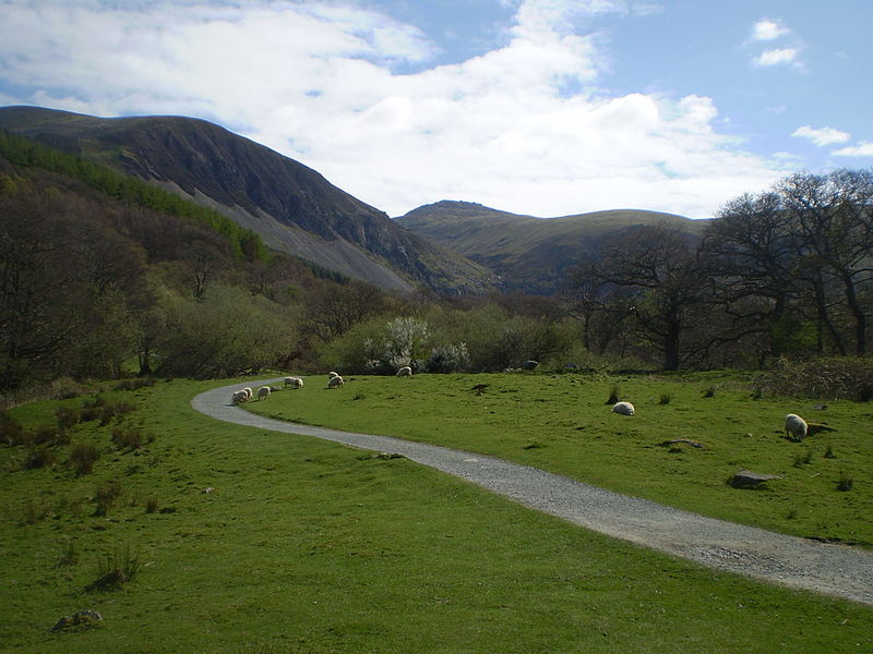
Bera Mawr is a summit in the Carneddau mountains in north Wales, height 794 metres. It and Bera Bach are together known as the Berau, or northern Carneddau. The summit is a large rock tor, characteristic of the western Carneddau. There are views of Llwytmor and Foel-fras to the north-east, Garnedd Uchaf to the south-east, Bera Bach to the south, Drosgl to the west and the Menai to the north-west. ()
Elevation: 2605 ftProminence: 98 ftCoordinates: 53°12'24"N, 3°56'9"W
Address
Snowdonia National Park
ContactAdd
Social media
Add
Day trips


Frequently Asked Questions (FAQ)
Which popular attractions are close to Bera Mawr?
Nearby attractions include Carnedd y Ddelw, Snowdonia National Park (1 min walk), Bera Bach, Snowdonia National Park (1 min walk), Pen y Castell, Snowdonia National Park (1 min walk), Drum, Snowdonia National Park (2 min walk).