Pen y Castell, Snowdonia National Park
Map

Map

Facts and practical information
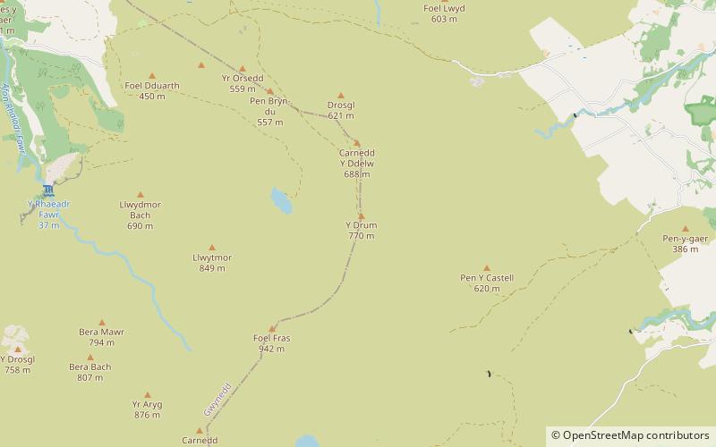
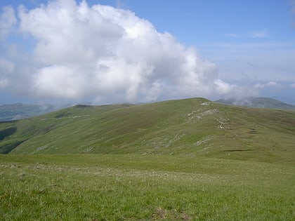
Pen y Castell is a summit in the Carneddau mountains in north Wales. It tops the east ridge of Drum. The summit consists of rocky outcrops amid a small boggy plateau. Views of the higher Carneddau ridge to the west, Craig Eigiau to the south, Tal y Fan to the north and the Conwy valley to the east can be seen. ()
Elevation: 2044 ftProminence: 95 ftCoordinates: 53°12'24"N, 3°56'9"W
Address
Snowdonia National Park
ContactAdd
Social media
Add
Day trips
Pen y Castell – popular in the area (distance from the attraction)
Nearby attractions include: Foel-fras, Drum, Bera Mawr, Carnedd y Ddelw.
Frequently Asked Questions (FAQ)
Which popular attractions are close to Pen y Castell?
Nearby attractions include Carnedd y Ddelw, Snowdonia National Park (1 min walk), Bera Mawr, Snowdonia National Park (1 min walk), Bera Bach, Snowdonia National Park (1 min walk), Drum, Snowdonia National Park (2 min walk).


