Bera Bach, Snowdonia National Park
Map

Map

Facts and practical information
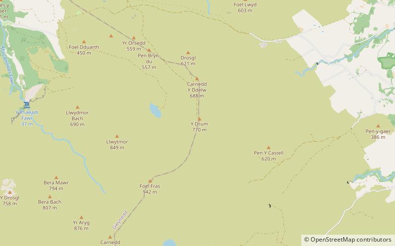
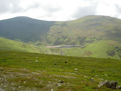
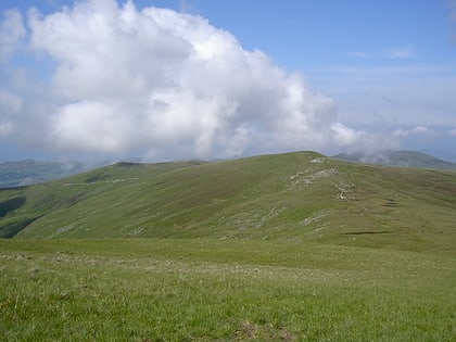
Bera Bach is a summit, height 807 metres, in the Carneddau mountains in north Wales. It is part of a ridge leading west from Garnedd Uchaf. The summit is a rocky tor, characteristic of the northern Carneddau. Bera Mawr and Bera Bach are together known as the Berau, meaning 'ricks' or 'stacks'. They are both excellent examples of the area's tors. To the west, the ridge continues to Drosgl. Despite Bach in Welsh meaning small, it is higher than Bera Mawr. ()
Elevation: 2648 ftProminence: 59 ftCoordinates: 53°12'24"N, 3°56'9"W
Address
Snowdonia National Park
ContactAdd
Social media
Add
Day trips
Bera Bach – popular in the area (distance from the attraction)
Nearby attractions include: Foel-fras, Drum, Bera Mawr, Carnedd y Ddelw.
Frequently Asked Questions (FAQ)
Which popular attractions are close to Bera Bach?
Nearby attractions include Carnedd y Ddelw, Snowdonia National Park (1 min walk), Bera Mawr, Snowdonia National Park (1 min walk), Pen y Castell, Snowdonia National Park (1 min walk), Drum, Snowdonia National Park (2 min walk).


