White Rose Lane, Woking

Gallery (1)
Map
Map
Facts and practical information
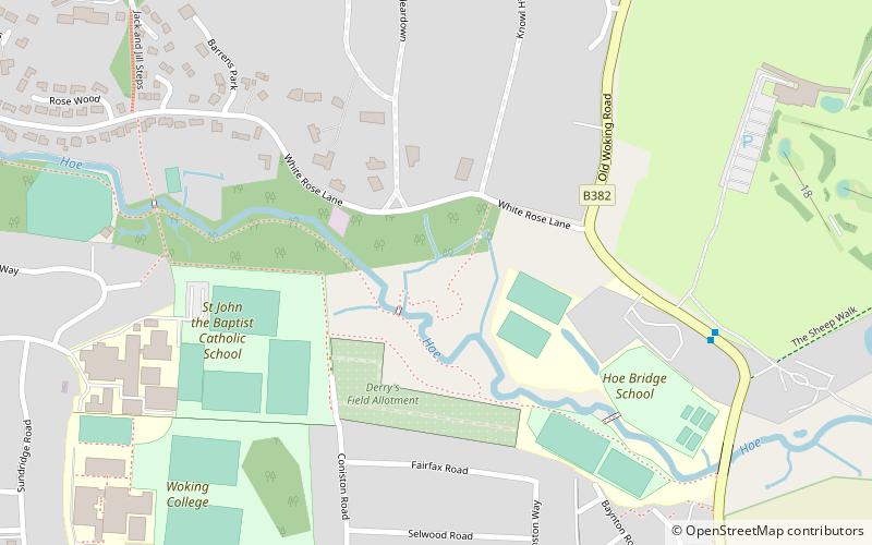
White Rose Lane is a 3.4-hectare Local Nature Reserve in Woking in Surrey. It is owned and managed by Woking Borough Council. ()
Elevation: 98 ft a.s.l.Coordinates: 51°18'34"N, 0°32'33"W
Address
Woking
ContactAdd
Social media
Add
Getting there by public transportation
Public transportation stops near this location
- Bus
- Train
 Bus
Bus
- Calculate routeHoebridge Golf Course 7 min walk
- Calculate routeConiston Road 8 min walk
- Calculate routeRydens Way Shops 8 min walk
- Calculate routePalace Way 10 min walk
- Calculate routeWoking 23 min walk
Day trips


Frequently Asked Questions (FAQ)
Which popular attractions are close to White Rose Lane?
Nearby attractions include Woking College, Woking (8 min walk), Old Woking, Woking (9 min walk), St Peter's Church, Woking (16 min walk), Woking Park, Woking (16 min walk).
How to get to White Rose Lane by public transport?
The nearest stations to White Rose Lane:
Bus
Train
Bus
- Hoebridge Golf Course • Lines: 40, 73 (7 min walk)
- Coniston Road • Lines: 462, 463 (8 min walk)
Train
- Woking (23 min walk)