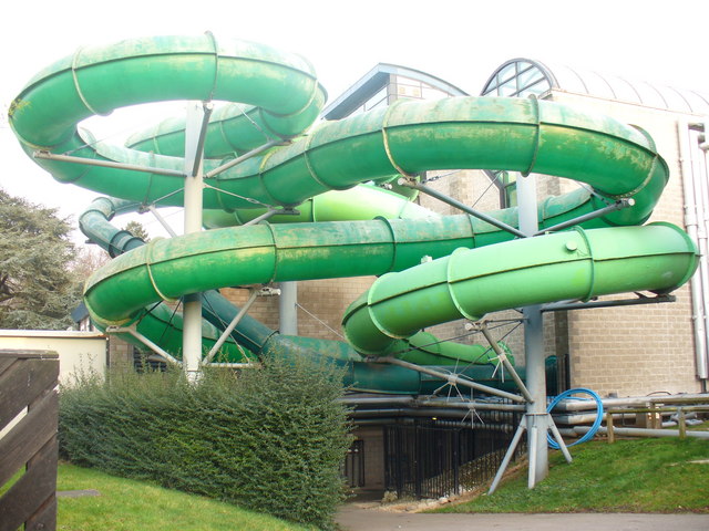
Woking Park, Woking
Map

Gallery

Facts and practical information
Woking Park is a large park and leisure complex in Woking, Surrey, operated and maintained by Woking Borough Council. The park is in the Hoe Valley and will be affected by the Hoe Valley Scheme. ()
Opened: 1902 (124 years ago)Elevation: 89 ft a.s.l.Coordinates: 51°18'38"N, 0°33'24"W
Day trips
Woking Park – popular in the area (distance from the attraction)
Nearby attractions include: The Lightbox, Christ Church, White Rose Lane, Church of St Mary the Virgin.
Frequently Asked Questions (FAQ)
Which popular attractions are close to Woking Park?
Nearby attractions include Borough of Woking, Woking (12 min walk), Woking College, Woking (13 min walk), White Rose Lane, Woking (16 min walk), Christ Church, Woking (17 min walk).
How to get to Woking Park by public transport?
The nearest stations to Woking Park:
Bus
Train
Bus
- Leisure Centre • Lines: 34, 446, 462, 463, 73 (6 min walk)
- Claremont Avenue • Lines: 34, 446, 462, 463 (6 min walk)
Train
- Woking (14 min walk)


